Ready to round the southwestern tip of the country and start heading east?
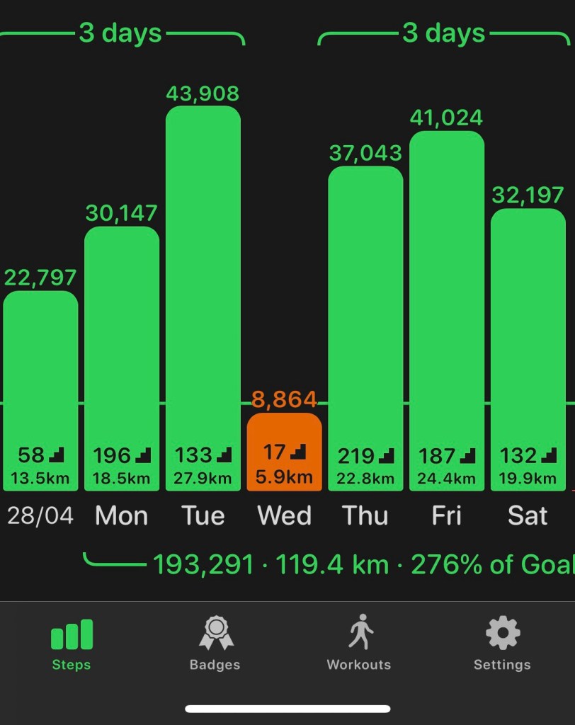
84 miles is the most I’ve tried to cover in six days, but I’d decided to live it up in B&B luxury this week, so at least had a comfy (AND DRY) bed to look forward to at the end of each day.

Day 1: The journey down
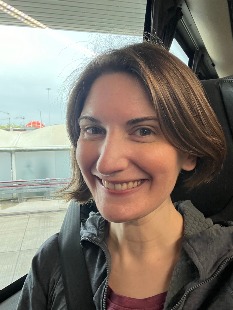
Once again, I feel I really outdid myself with the journey back to Newquay. I often book these trips several months beforehand and forget the ludicrous itineraries I’ve come up with.
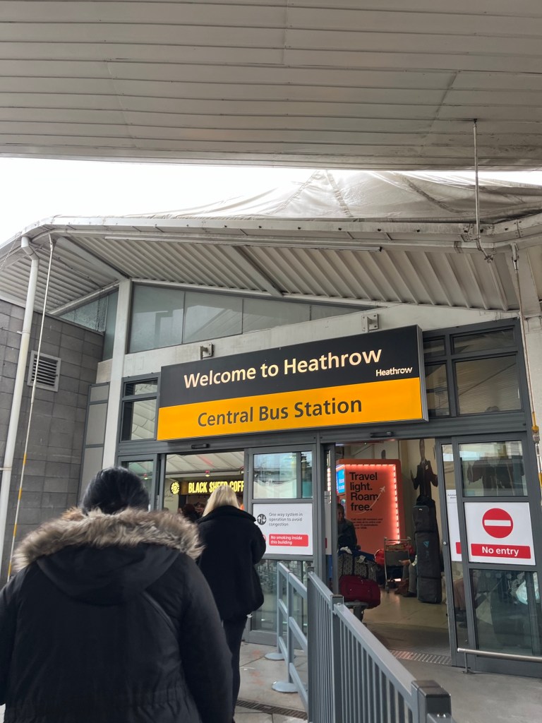
Joe kindly drove me to the bus station (I’ve often independently insisted on doing the whole journey under my own steam) and then it was time to board the Heathrow Airline Express….think I was the only person not heading for a flight, and I got some slightly perplexed looks from others in the queue to board.

An hour long wait in the salubrious Heathrow coach station and then it was on to the coach to Newquay.

Six hours later, I arrived to peak Saturday night Newquay- it felt like I was the only person not on a stag do.
The rain had finally eased and so I was able to go for a quick wander and find some dinner. Struck by how cold it was, I felt very relieved not to be facing a week in the tent.

Day 2: Newquay to Perranporth
Ascent: 1900ft
The tide times were against me for crossing The Gannel Estuary out of Newquay on foot. Realising that I’d have rather a long wait for the seasonal ferry (that doesn’t start up til mid May!), and not fancying the pavement inland diversion route, I got a taxi round to the beach car park at Crantock. The taxi driver thought I was mad when I explained my plans for the coming week, and I spent the first section of the path reflecting on how lucky it is we all have different pastimes- the solitude and feeling of isolation is what hugely appeals on this journey. If everyone was out doing the same, it would be far less peaceful.
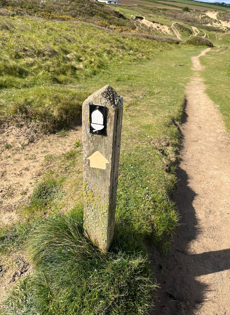
Oh the sight of those acorn signs lifts my spirits in a way I can’t describe!


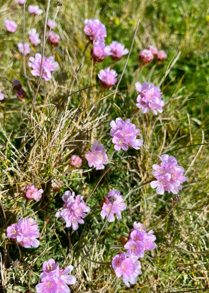
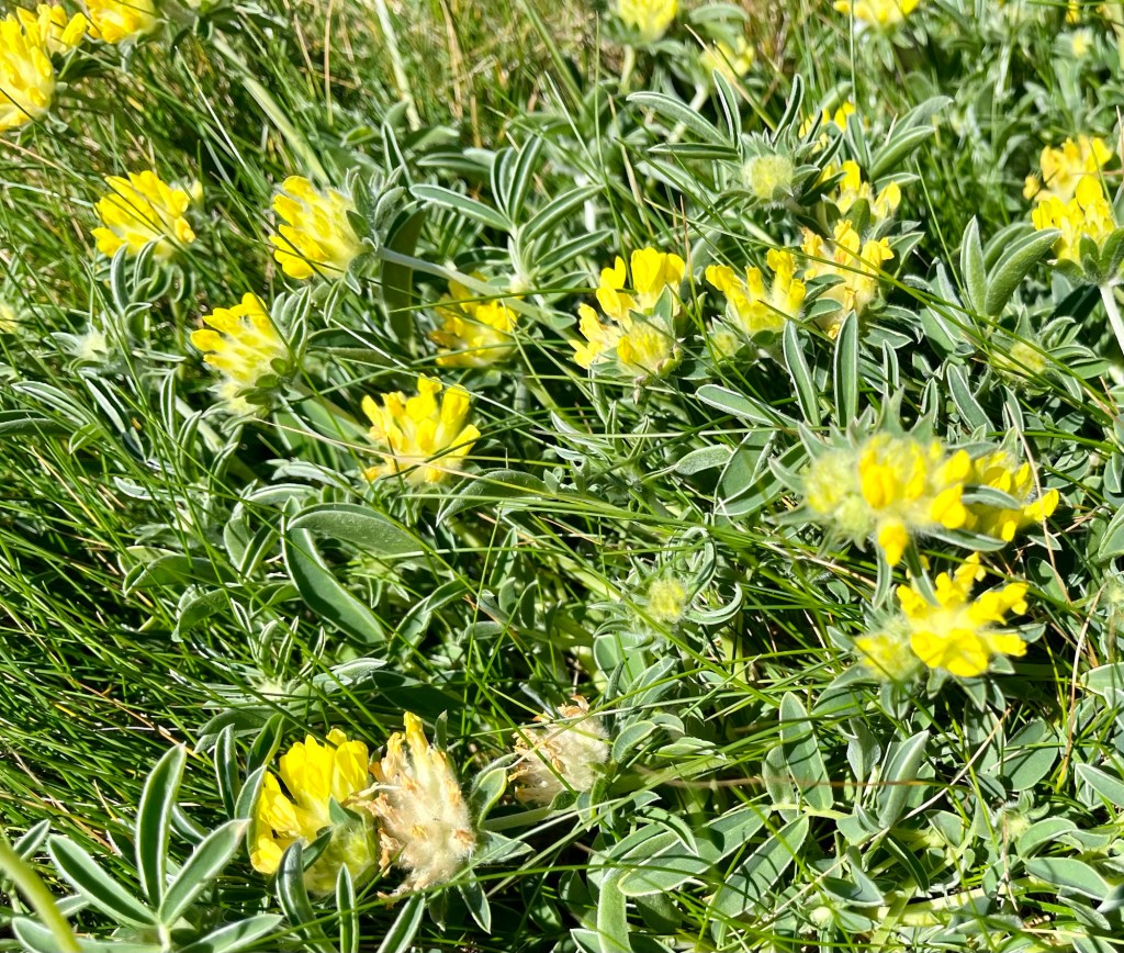
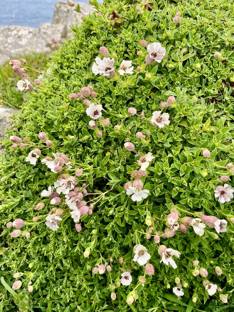
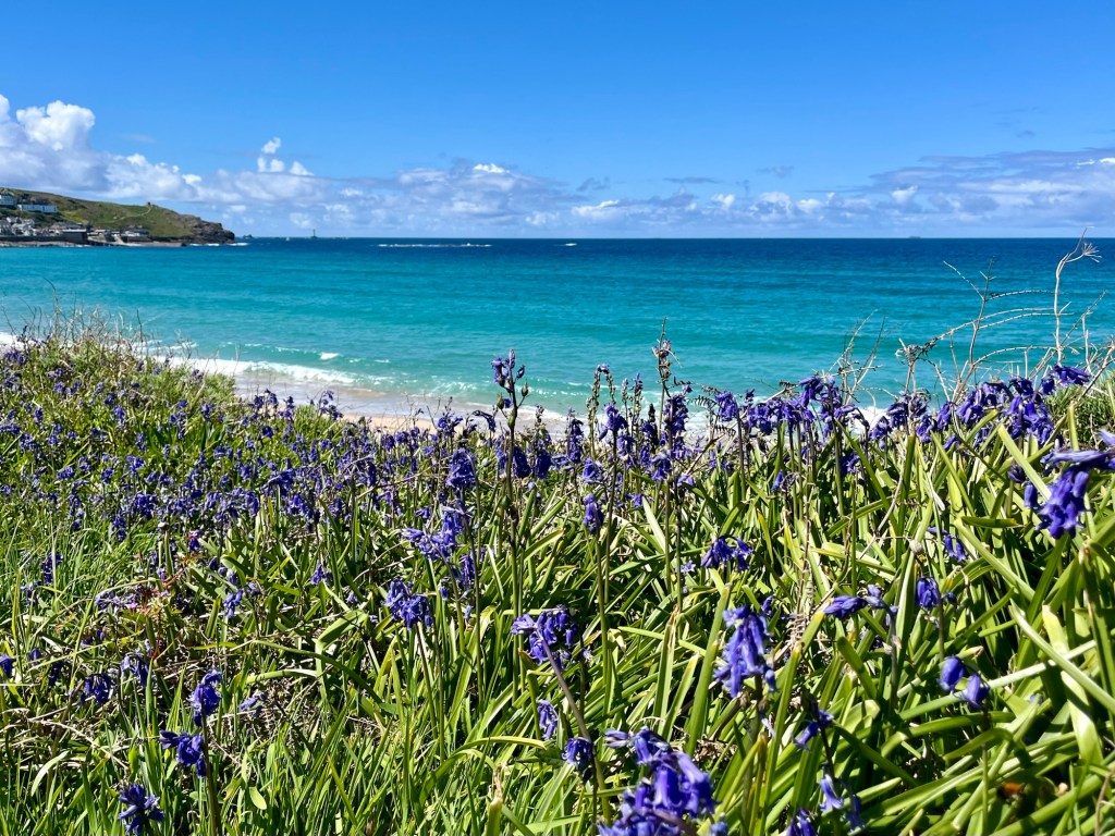
The walk to Perranporth was a fairly gentle easing back in, and I had plenty of time to take in the amazing colours of the hedgerows and banks which were awash with spring flowers.

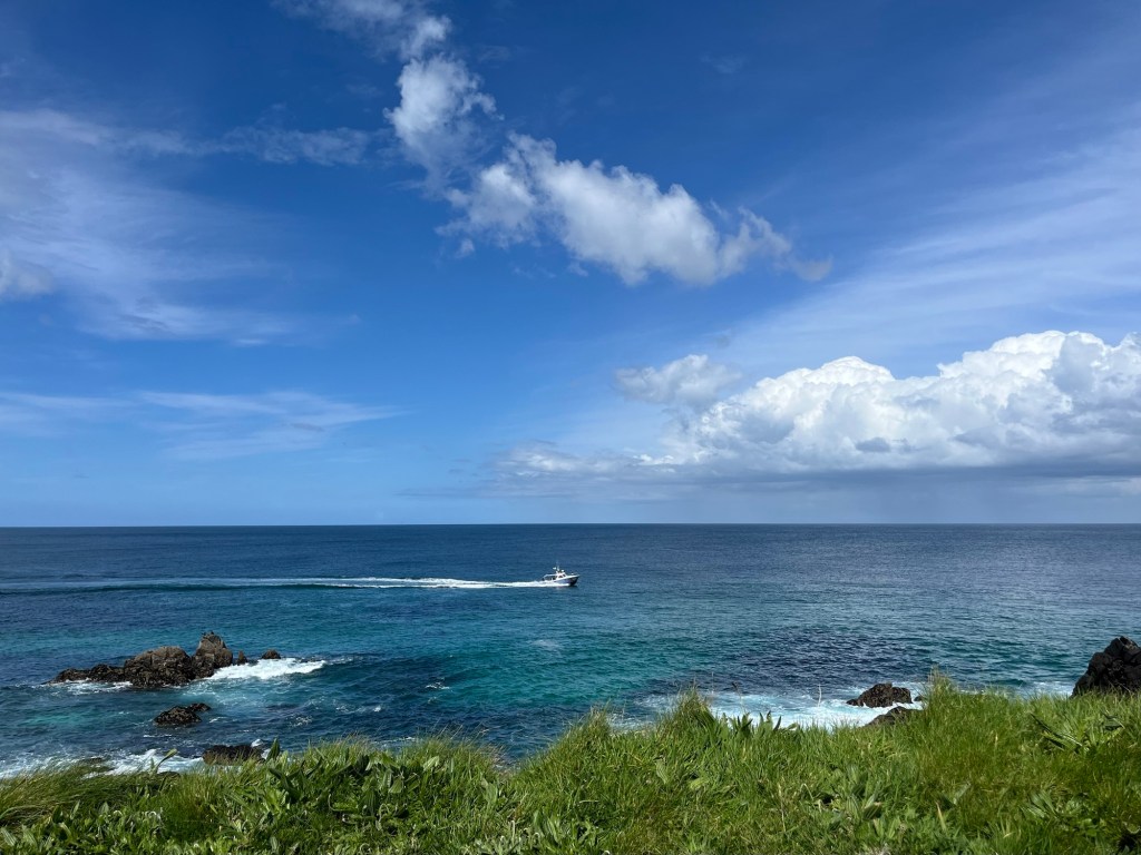
Despite the forecast having been for rain, the sun shone all day, and by the time I arrived on Perran Sands beach, there were loads of paragliders making the most of the fine weather above the dunes.


Day 3: Perranporth to Portreath
Ascent: 2249ft
This shall be known as Very Wet Day 1.
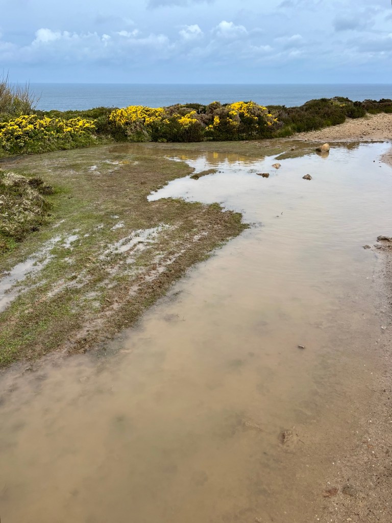
I felt fairly smug setting off, as the forecast had been for rain from 8am, but it turned out to be dry at that stage. However, there were some fairly sizeable puddles around.

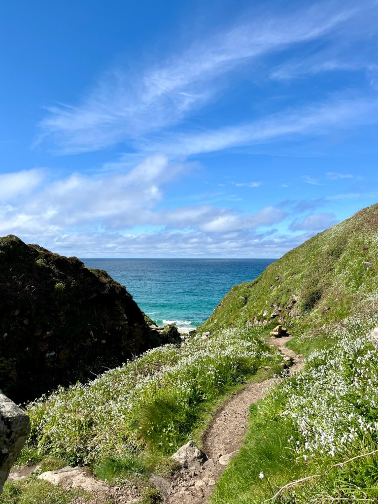
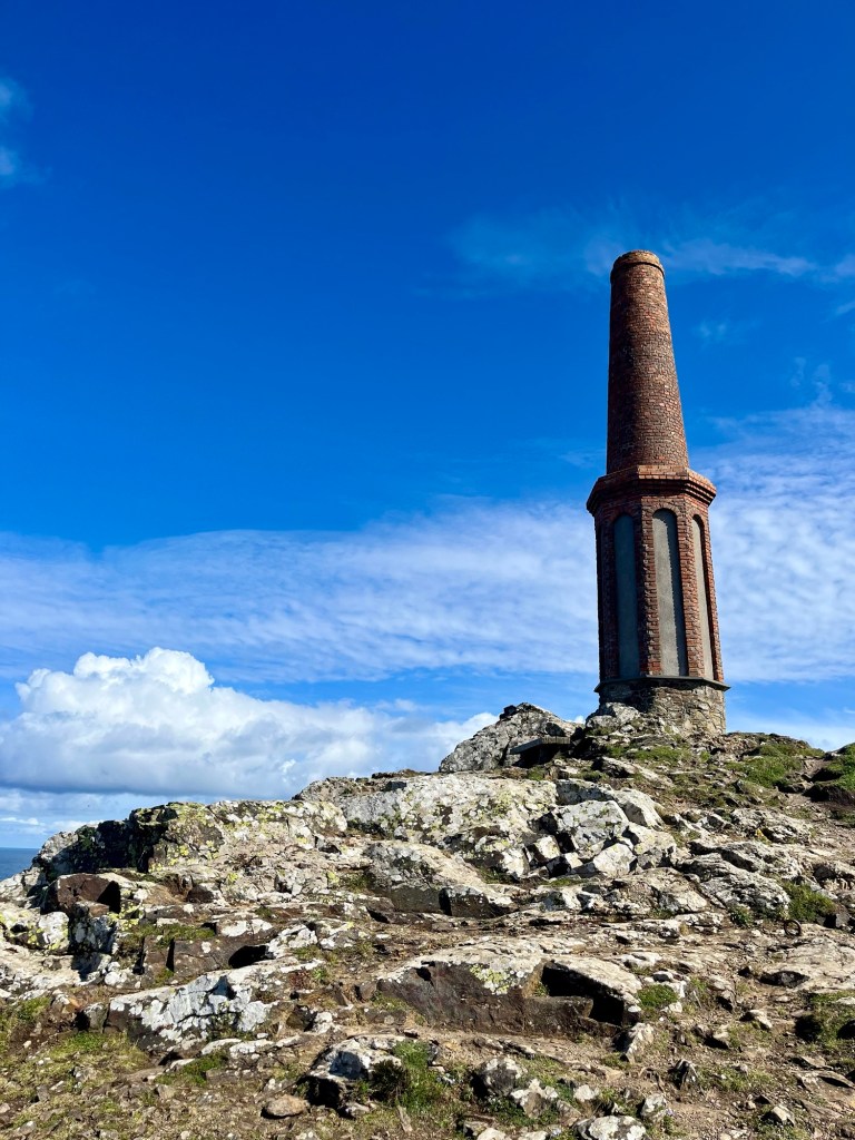
The whole of this stretch down towards Land’s End is old mining country. The old chimneys and mineshafts became a familiar sight over the coming days.

Rounding in to St Agnes, the rain arrived. Oh boy, did it arrive. The whole of the rest of the walk was spent trudging through driving rain and wind. Five hours solidly. A cheering moment when I came across a fellow solo hiker heading in the opposite direction. His opening question was “how are we finding it?” and something about his use of “we” made me feel slightly less alone in the bleak wetness. He also shared some of his jetboil coffee with me- I didn’t know whether to cry or hug him!


As a result of the delightful weather, I don’t have many photos from this stretch- it was definitely a head down and power through section. However, eventually I arrived in Portreath and have never been so relieved to be heading inside for the night. The Portreath Arms also has an amazing drying room so I was able to load all my wet gear in, knowing it would be significantly drier come the morning.
Now to explain the food situation on these B&B stretches. For some reason, it feels too extravagant to have a meal out every night, when I’m having amazing breakfasts most mornings (see below). Too great a departure from the camping/roughing it approach. So I take my delightful noodles/pasta sachets to enjoy! I think you’ll agree, they look incredibly appetising.

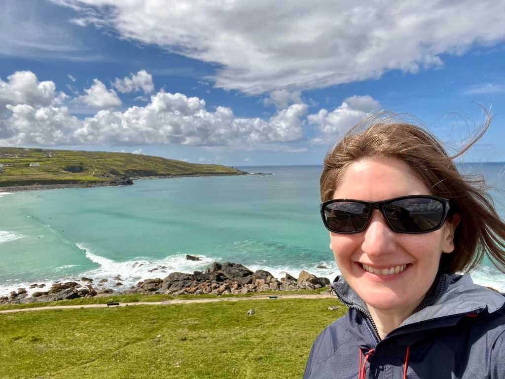
Day 4: Portreath to St Ives
Ascent: 1979ft
Continuing the food theme- one of the absolute highlights of staying in B&Bs is the breakfast component. The gruel porridge-made-with-water experience when camping is all well and good, but being able to treat myself to a cooked breakfast is such a luxury! The Portreath Arms also had an amazing fruit platter which I readily devoured (I often find myself really missing fresh produce) followed by this incredible full Cornish.

Anyway, enough lounging around eating good food. Ready for Very Wet Day 2?
To be honest, as much as it was wonderful to pull on dry gear, it almost made it sadder when about twenty minutes later I was soaked through. Both feet were soggy by the one mile point. And the rain just did not stop.
I tried very hard to cling on to the mantra that it’s wonderful to experience different conditions and see the coast in all weathers. But passing Godrevy Head, I couldn’t help but feel a little sad that this beautiful stretch was almost passing me by as I had to spend the whole time watching where I put my feet to avoid mega puddles and bog!

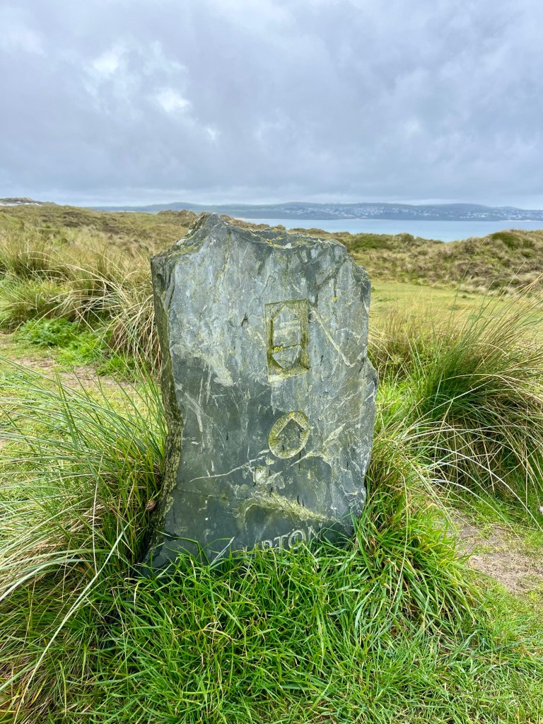
I mostly stuck to following the official route through the dunes behind Towan Beach, finding walking on sand hard enough in the dry, let alone in horizontal rain. The dunes route was amazingly well signed, using local slate markers.


The second half of the day was drier, but far less stimulating- mostly semi-urban trudging around Hayle and in to St Ives. However, I could smell my rest day on the horizon and powered through.

I was staying in a beautiful little airbnb flat in the centre of St Ives, and treated myself to fish and chips and a beer to celebrate reaching not only the half way point, but a heated towel rail for drying out boots!


Day 5: Rest day- St Ives
This was a gloriously sunny day, which cheered me considerably and made me hopeful that there might be some brighter weather in the second half of the week.
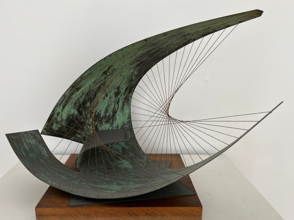
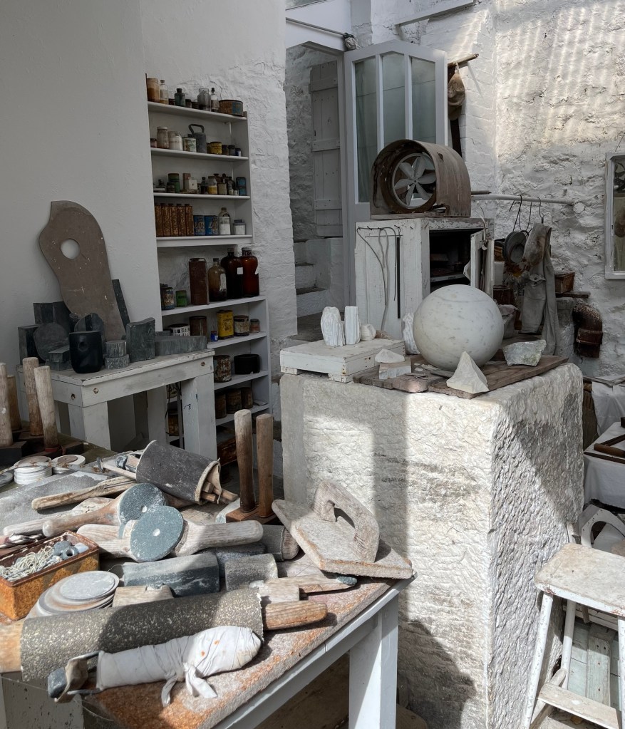
I spent the morning wandering round the Barbara Hepworth museum. It’s in the house she bought originally as a studio, but later also lived in. She died in a fire on the upper floor and I found it incredibly poignant how her studio has been left completely untouched.

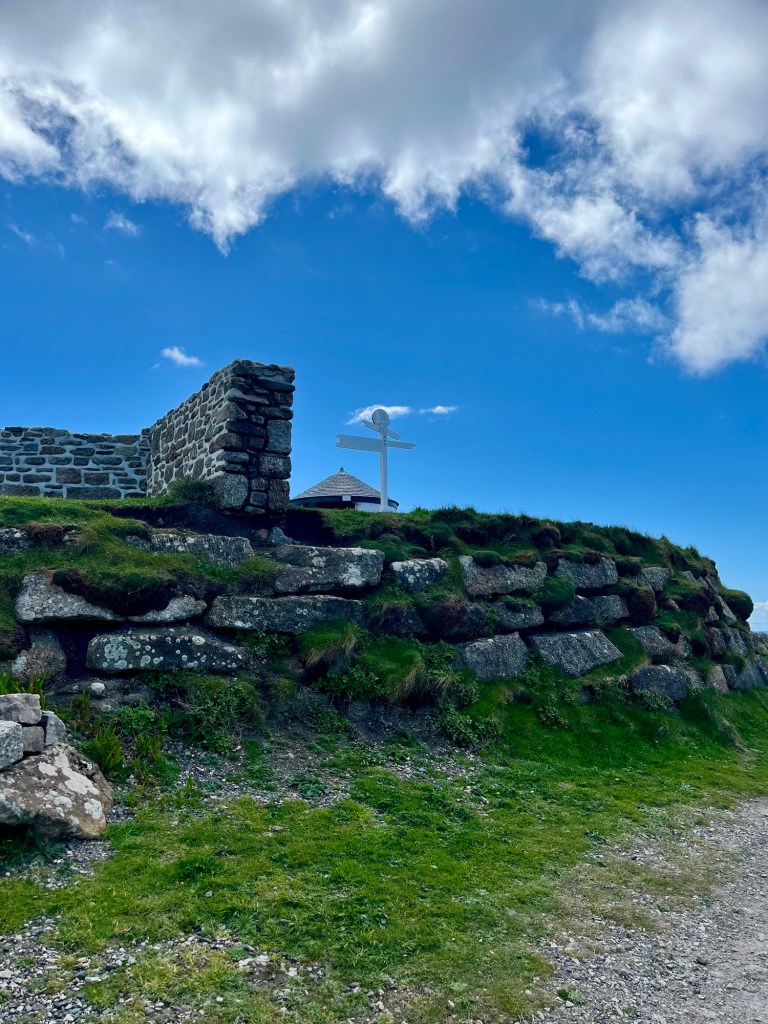
After lunch, I decided to complete the little loop of “The Island” with St Nicholas Chapel perched atop. This forms part of the official SWCP route, but I knew I’d be unlikely to be tempted to backtrack to it the following morning with my rucksack.
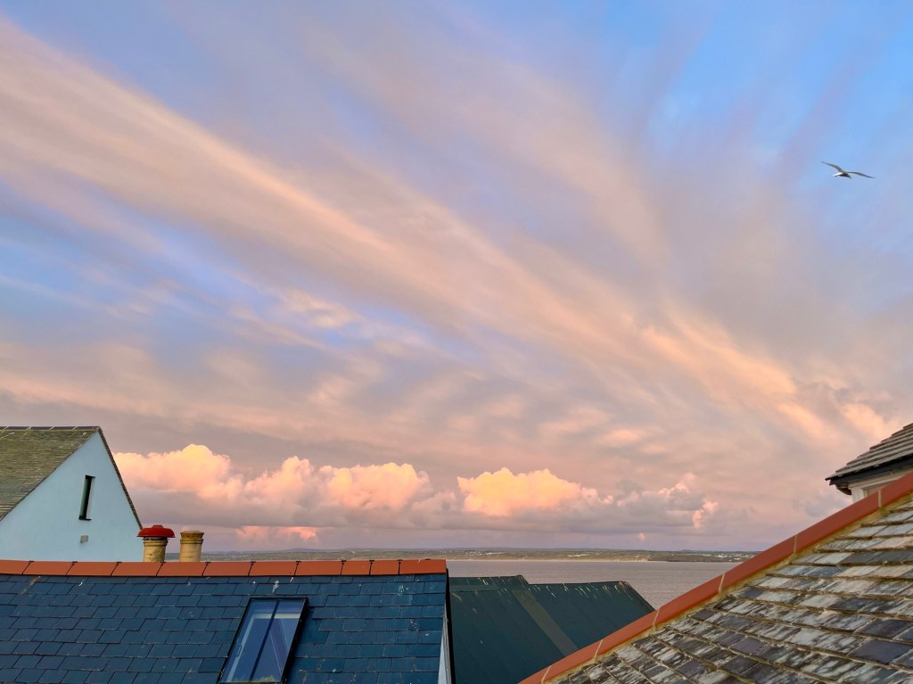
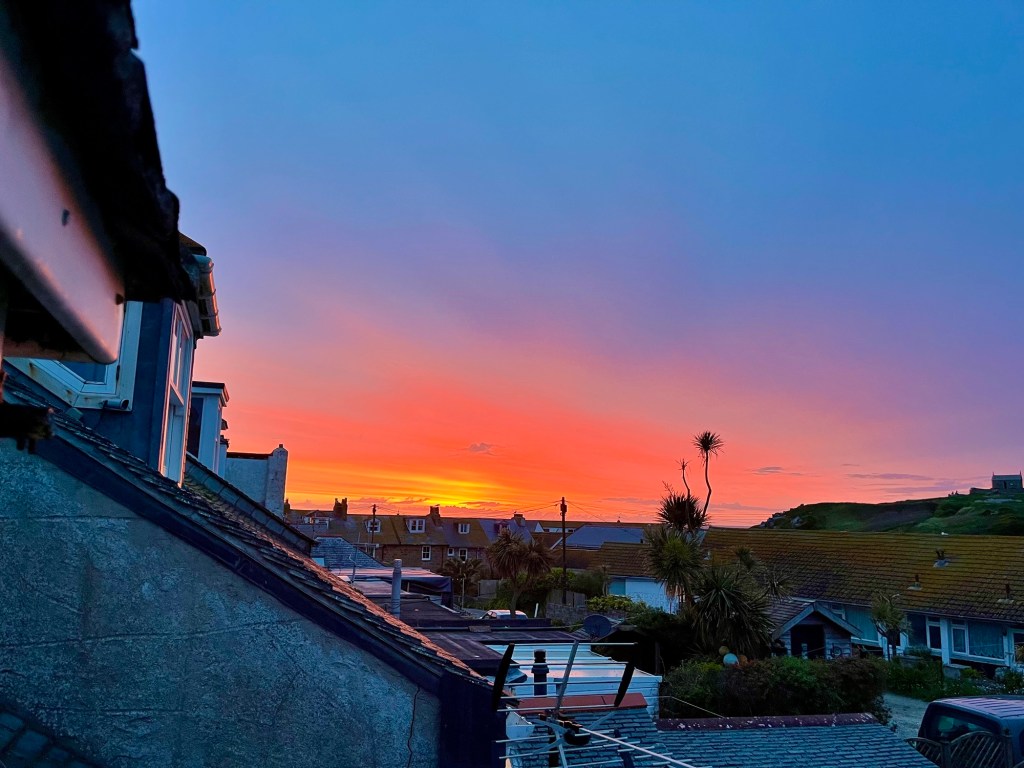
That evening, another stunning sunset.
Day 6: St Ives to Pendeen Watch
Ascent: 3428ft
I was so relieved to wake and realise I couldn’t hear any rain outside. Sure enough, it was grey, but not yet wet. This was quite the departure from the Met Office forecast, so I hurriedly got ready in rather a rush to get out on the path before that changed.
Devastatingly, this rush precipitated quite the tragedy. I had bought a little pork pie to have as a treat lunch today. Break the Soreen malt loaf cycle. About two miles out of St Ives, I suddenly remembered where it was – still in the fridge back at the Airbnb.

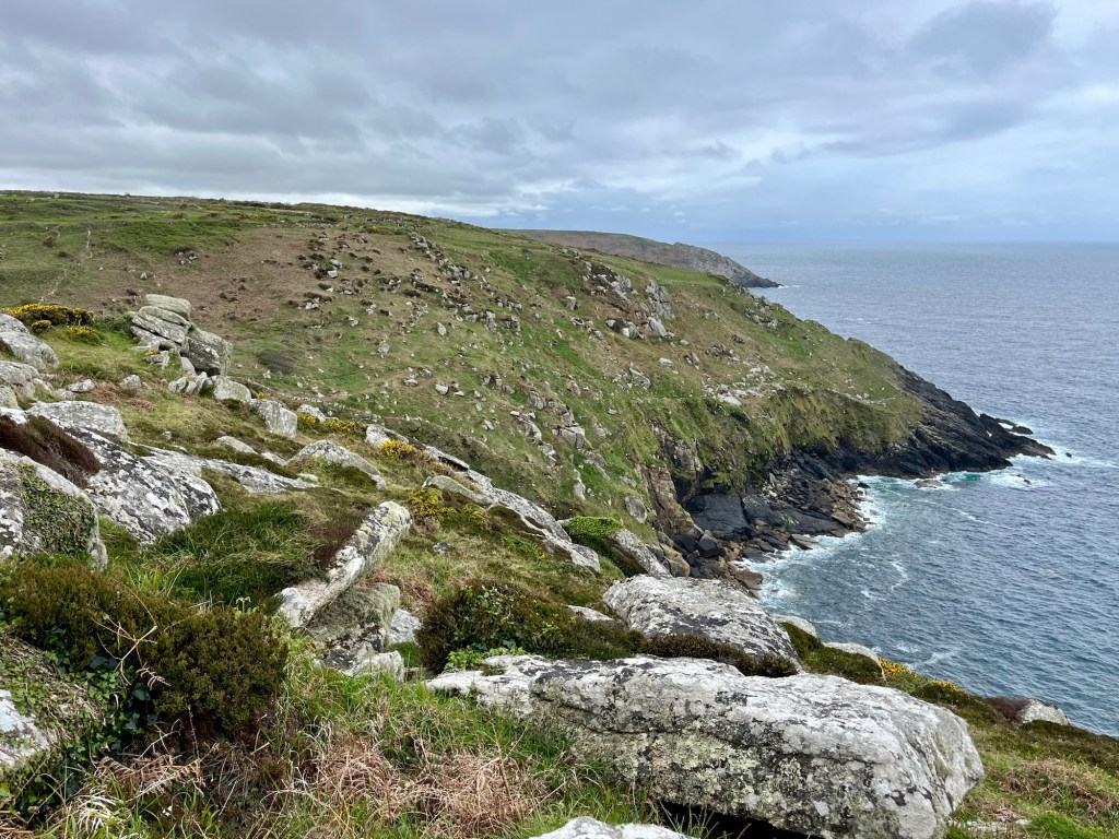
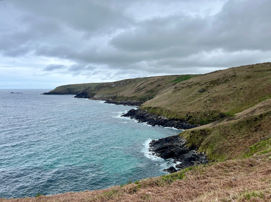
Lots of people had warned me about this section. Boulders and bog seemed to be the summary. Certainly the first few miles out of St Ives were pretty slow going. However, this is also a gloriously remote section, as there’s no real settlements along the way. Endless rugged headlands and rocky coves stretch out ahead.

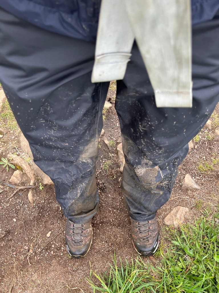
I was feeling rather proud, and perhaps even a little smug, at how well I was navigating the boulders and boggy sections, especially given my short legs. However, pride comes before a fall/sink. Having spent an age trying to pick out my next foot hold, I overbalanced with my rucksack and plunged my leg down into bog, mid calf high. Thank goodness for waterproof trousers and dock leaves to clean myself down. I found the entire thing hilarious and laughed out loud for long enough for it to be a good thing it’s a remote section.
I arrived at Zennor Head faster than I was anticipating, and felt pleased with myself to have made it to the halfway point for the day in such good time.
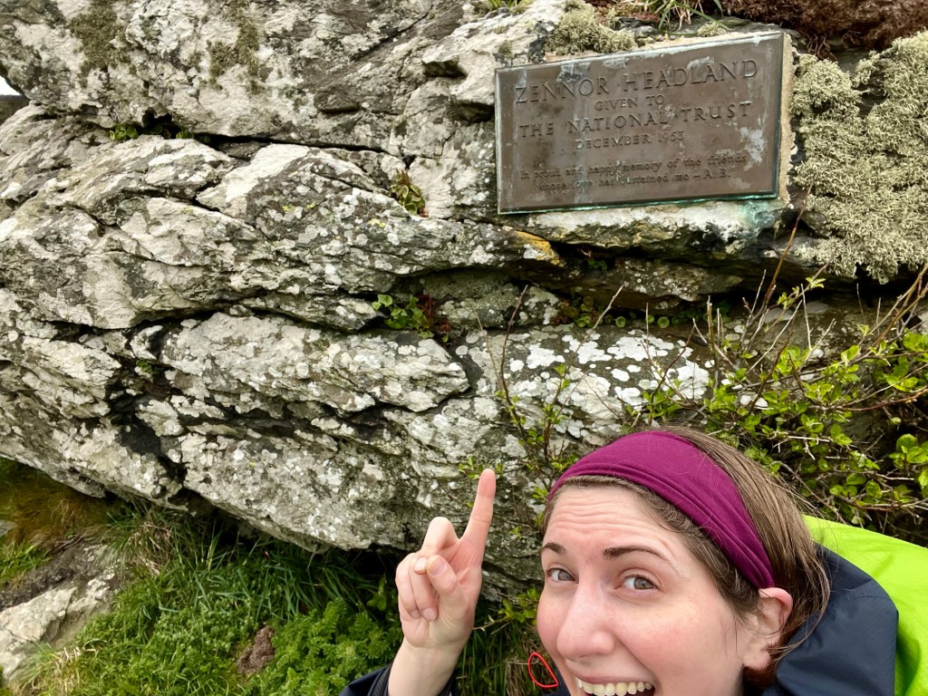
But about two minutes later, I realised it wasn’t actually the halfway mark. No wonder I thought I was making good time.


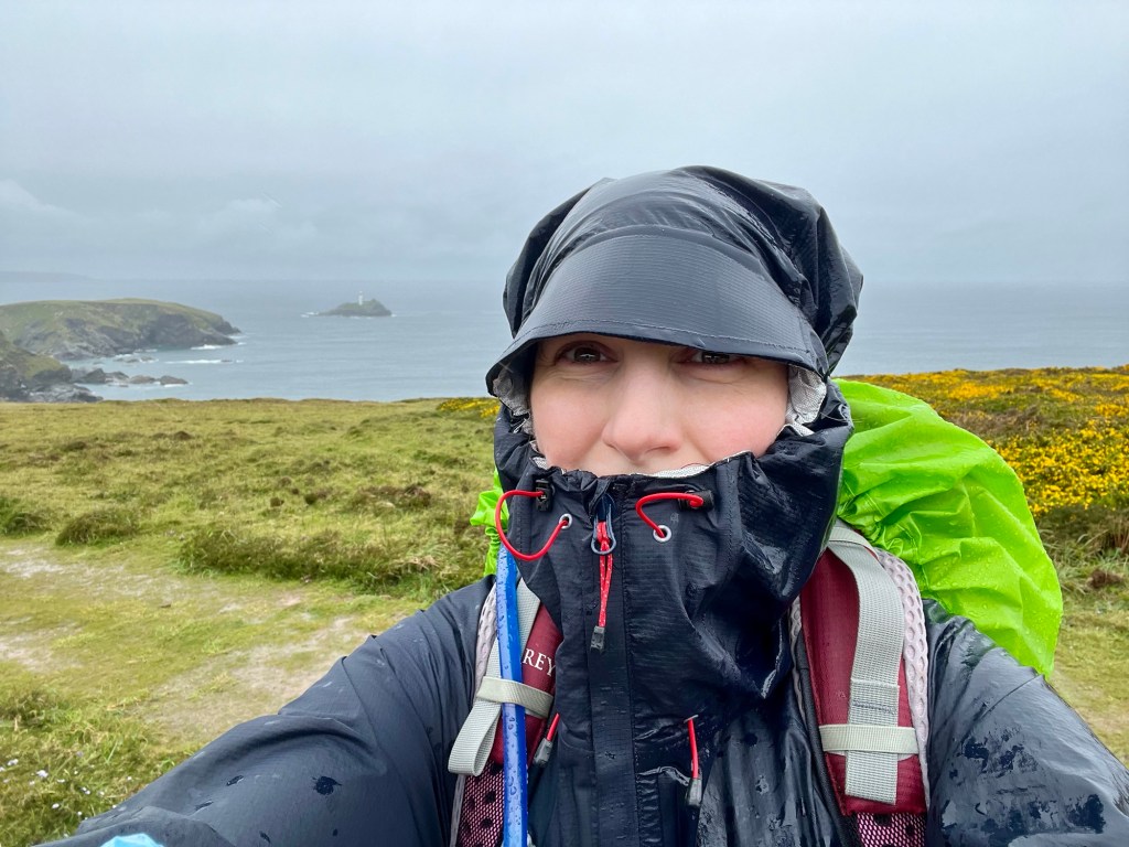
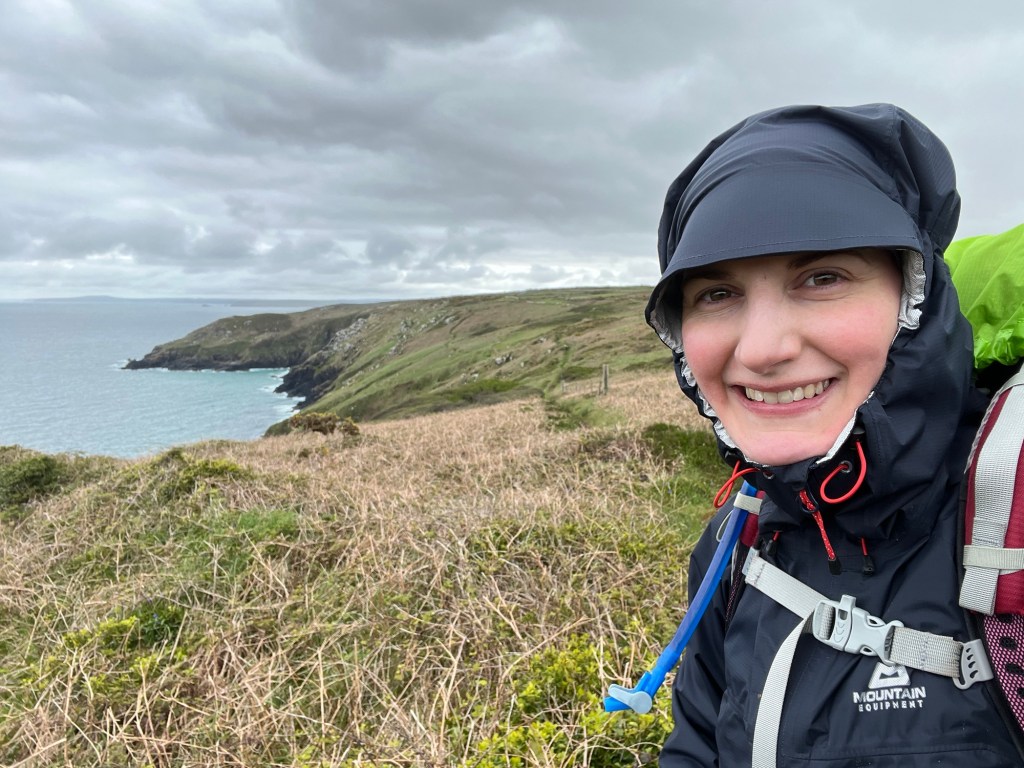
By the afternoon, something miraculous happened. The sun broke through. Time for the beautiful sunglasses and cap to make a reappearance (I know you’ve missed this look).


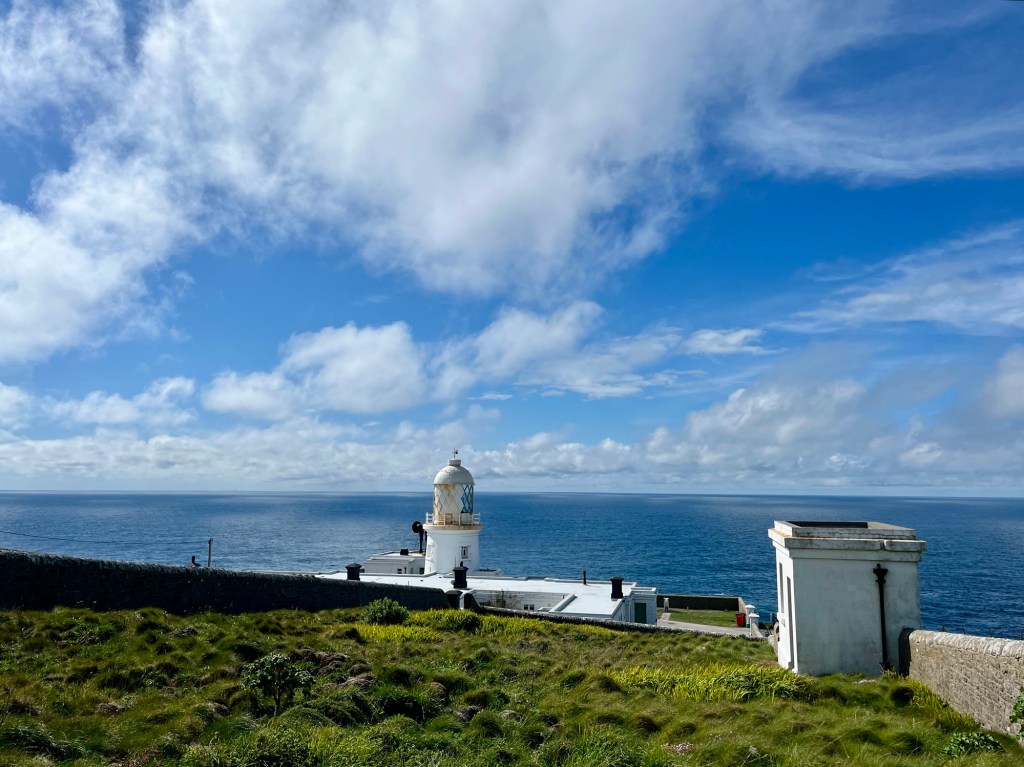
The lighthouse at Pendeen Watch was an excellent visual marker of my end point for the day, watching it creep ever closer (you might have to zoom in to spy it).


The final section was so wet and swampy that I even found some tadpoles in a puddle perched up on the cliff top!

What to say about that evening? My B&B had a bath. Peak wrinkled prune status was achieved.
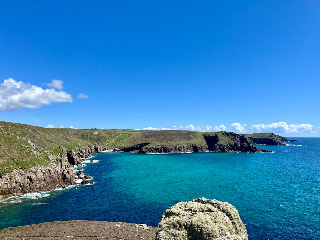
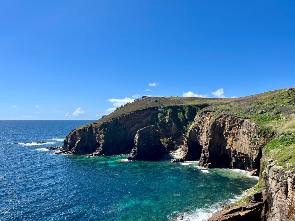
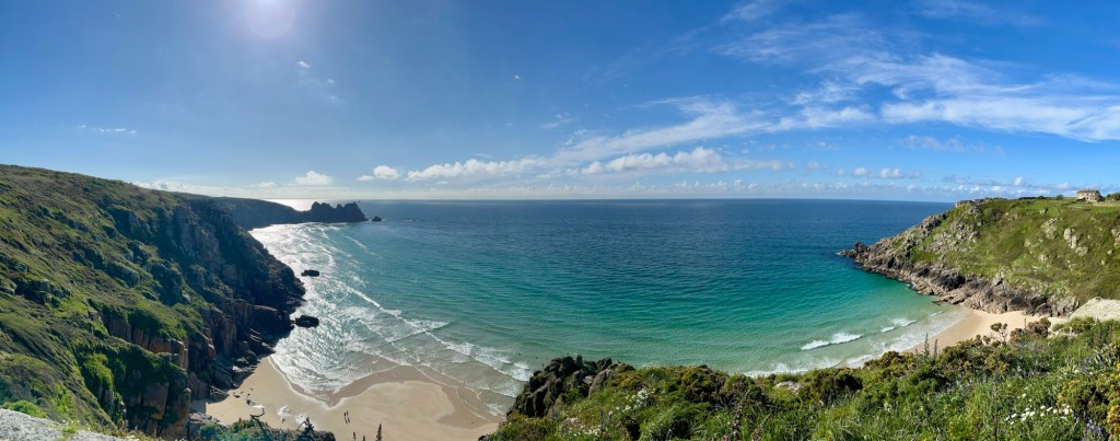
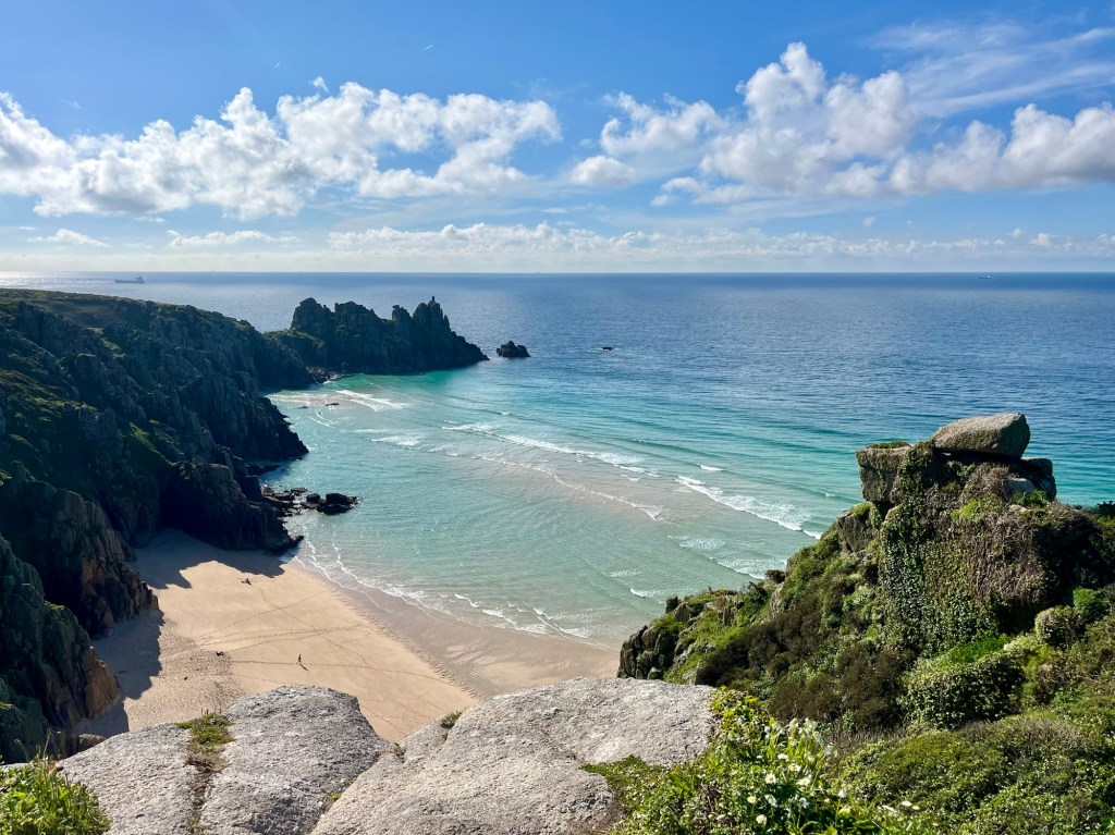
Day 7: Pendeen Watch to Porthcurno
Ascent: 3225ft
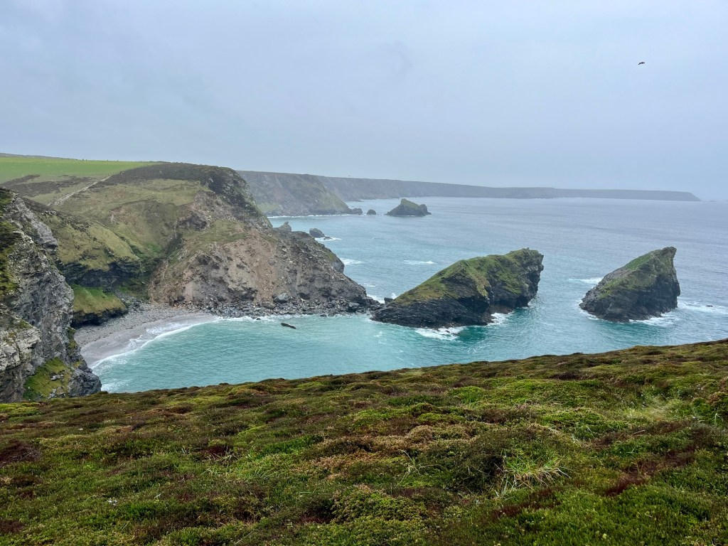
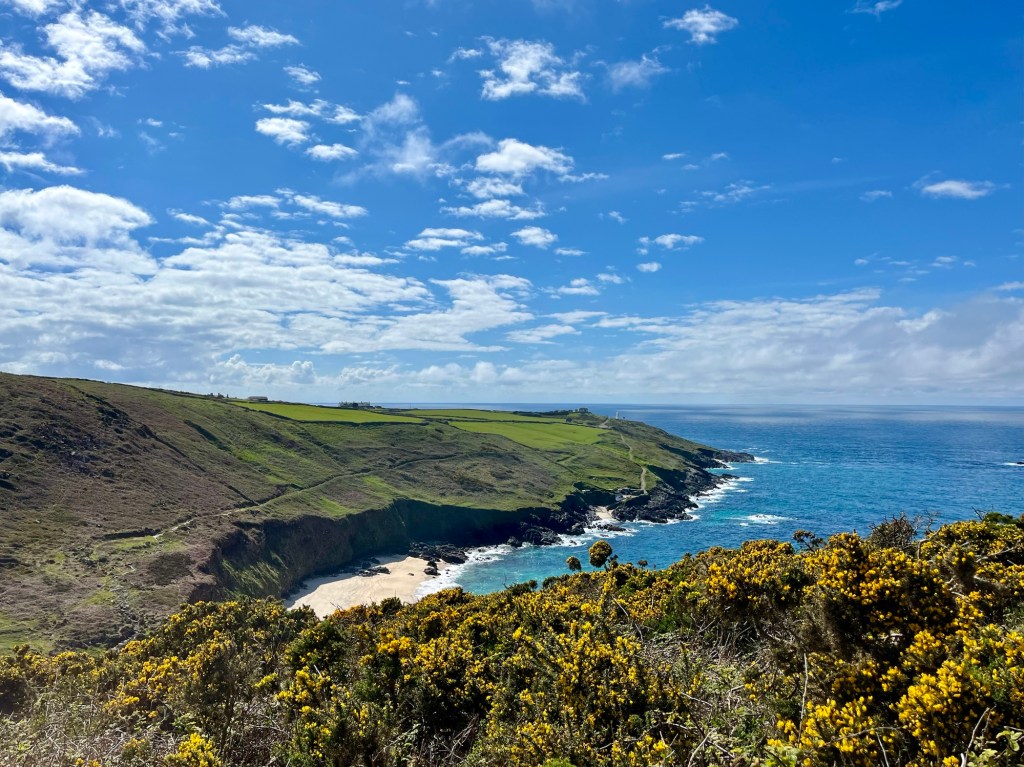
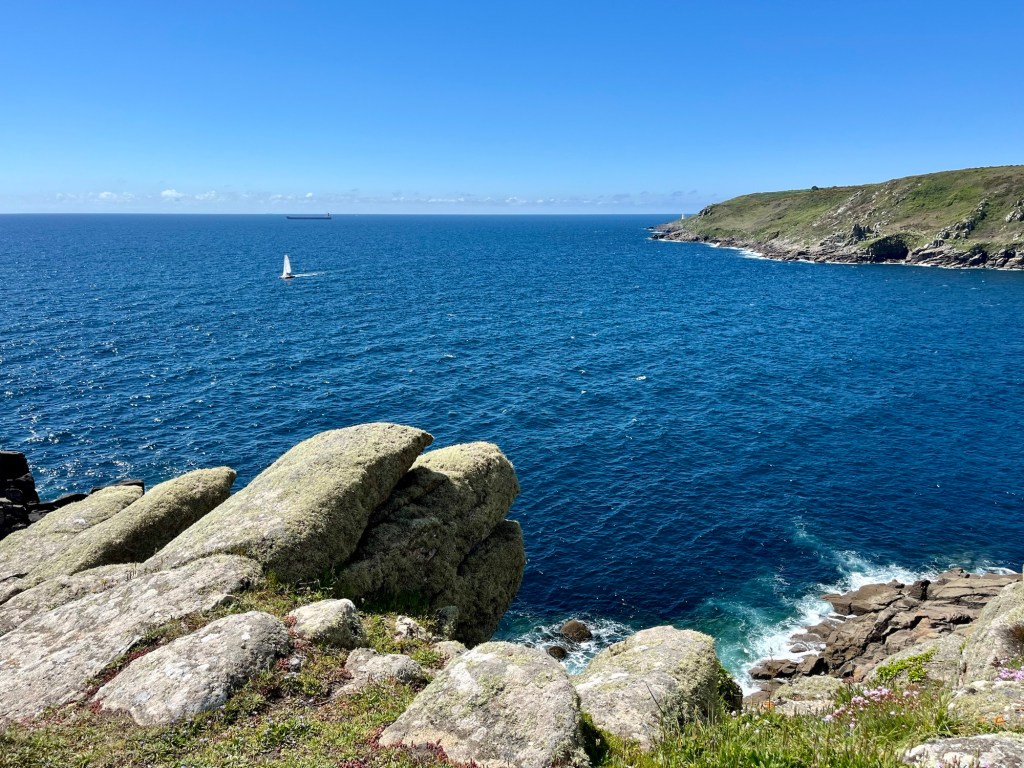
This was a glorious day. I’ll let the photos speak for themselves, but I loved this stretch. Cape Cornwall may be my favourite spot yet.


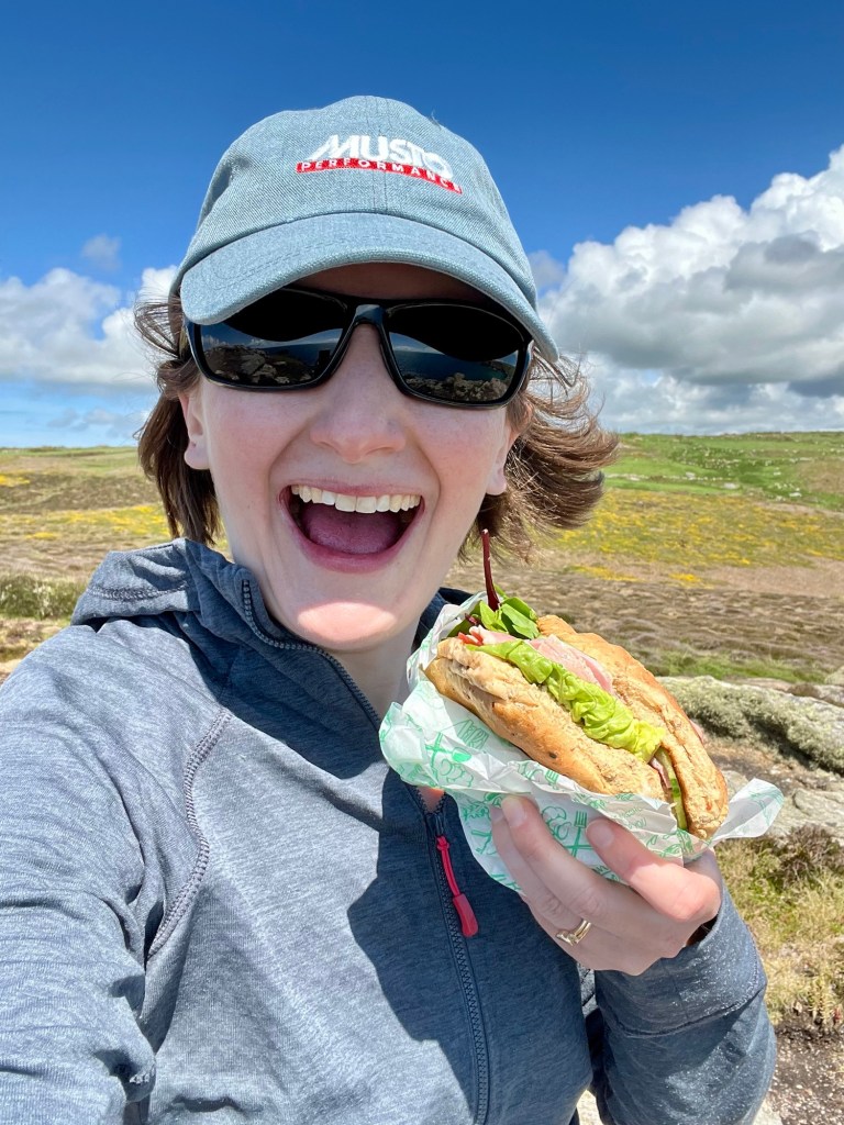
I treated myself to a sandwich from Sennen Cove cafe, and you can see for yourselves the joy a non-malt loaf lunch brought me.

Land’s End is grim. There’s an unwritten rule in the SWCP hiking community to just get through it as quickly as possible. Thankfully walkers are exempt from the exorbitant entrance cost. I stopped for a quick photo at the most westerly point, but otherwise pressed on.


The feeling of having turned the corner is very real- the sun now lights the other shoulder!


Day 8: Porthcurno to Penzance
Ascent: 2106ft
I stayed in a hilariously chaotic B&B in Porthcurno. I was well warned, having read reviews online (limited somewhat by choice given the size of the village). The owners really didn’t seem to like having guests in their house very much, and I was quite relieved to escape after breakfast and hit the path.


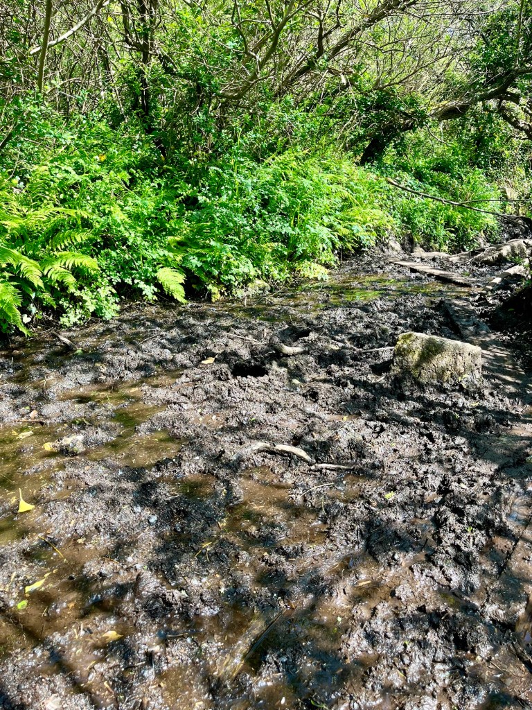
The guide book rather under sells this stretch. It also neglected to mention BOGMAGEDDON which lay just before Lamorna. The photo doesn’t vaguely do justice to the size or depth of bog- just bear in mind those planks in the distance are full floorboard size.
Thankfully, a friendly Kiwi lady hiking alone, arrived just as I was despairing at finding a safe next stepping stone and together we found a route across. We then walked a little distance together. I decided I couldn’t trust her too much as she was wearing a woolly hat and gloves at a time when I was considering fashioning my trousers into shorts. Maybe all SWCP hikers are a little bit mad.
The section from Lamorna to Mousehole is one I’ve done the other way round some years ago, and all I could really recall was a very steep flight of steps just out from Mousehole. I knew I’d be tackling going up them, but was relieved to find I’d built them up in my head to be far worse than they were.

Plunging down into Mousehole on a bank holiday Saturday felt like a different world to the one I’d inhabited for the past week.


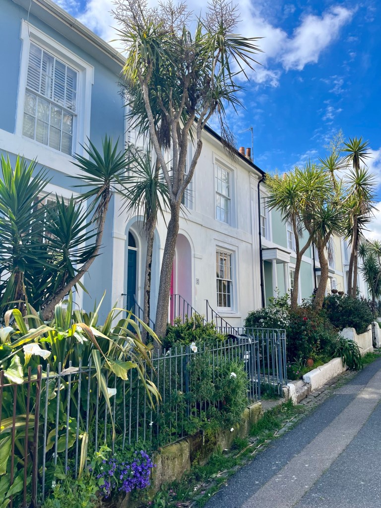
Walking round Mounts Bay into Penzance was somewhat underwhelming as you’re just following the main road. However, wandering through the back streets of Penzance to get to my bed for the night, I felt a real sense of achievement creep over me.


Day 9: The journey home
Nothing to say, other than thank goodness my train wasn’t as crowded as last time I did this journey, and there was room for my rucksack in the luggage store as opposed to on my lap.

Oh, and look what I’ve been “reading” as I travel back. Time to get planning Leg 5….


Leave a reply to Nicola Cross Cancel reply