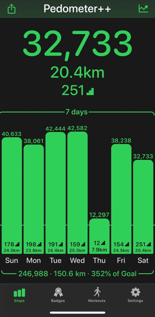
It’s been 16 months since I was last down on SWCP. High time I get my stomp on.
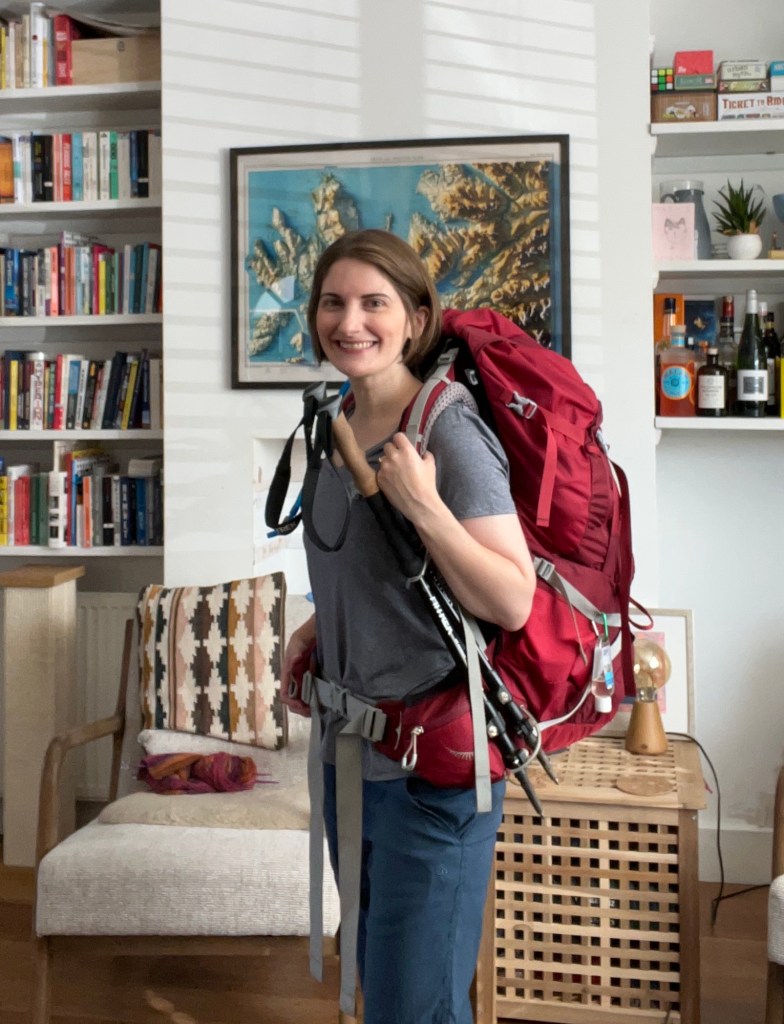
Attempting 84.5 miles this week- the furthest yet (by half a mile!). Back in B&Bs- I’m becoming soft in my dotage. But thank goodness- the forecast looks WET.
Day 1: The journey down
To be honest, it’s a disappointingly straight forward journey this time- bus into town, train from Oxford to Reading, change onto direct train to Penzance.
However, the first train does provide some delights by being standing room only- despite having a seat reservation, the train company has cancelled them all. Cue much jostling, huffing and puffing from those around me. I know my place and stand in the large luggage/bike storage area- rucksack firmly attached.
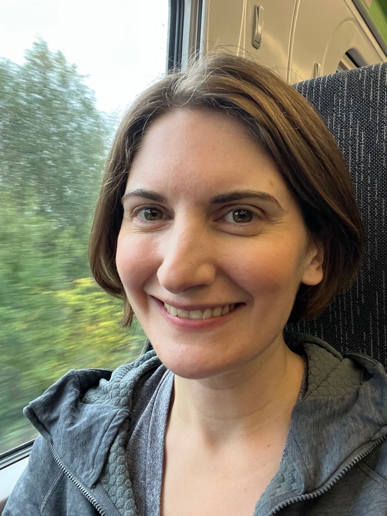
Thankfully the Penzance train is far less busy, and I install myself in my reserved seat, rucksack safely stowed away above me.

The journey passes surprisingly swiftly. I have a neighbour until Totnes. Initially unimpressed as he does a spectacular job of man spreading. However, we later get chatting and he is a fellow hiker- soon heading off on an adventure of his own in the mountains of Slovakia. We exchange tales from trails. And then he really excels himself by declaring, with great authority, that the forecast for this coming week is looking “decidedly ropey”. As if this is something that might have passed me by. I reassure him I have kit for all weather and wish him well for his travels.
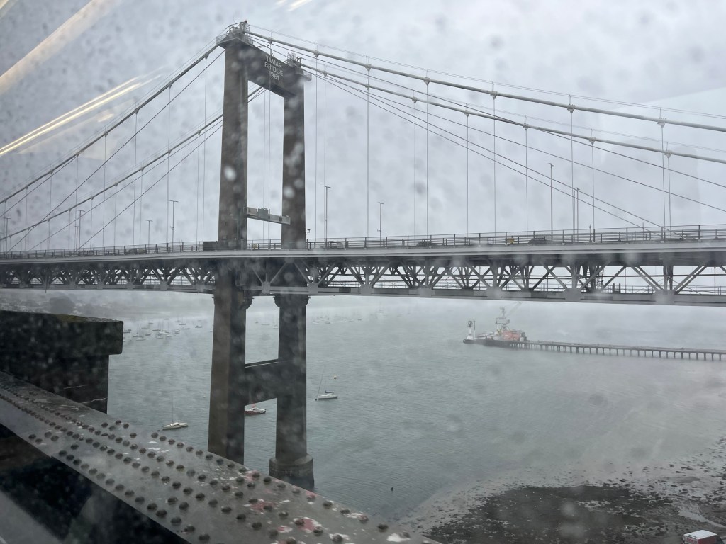
As the train presses on for Cornwall the weather looks, well, decidedly ropey.
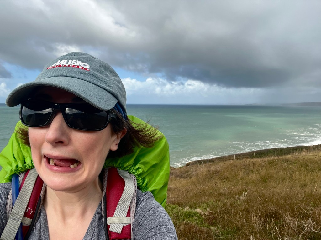
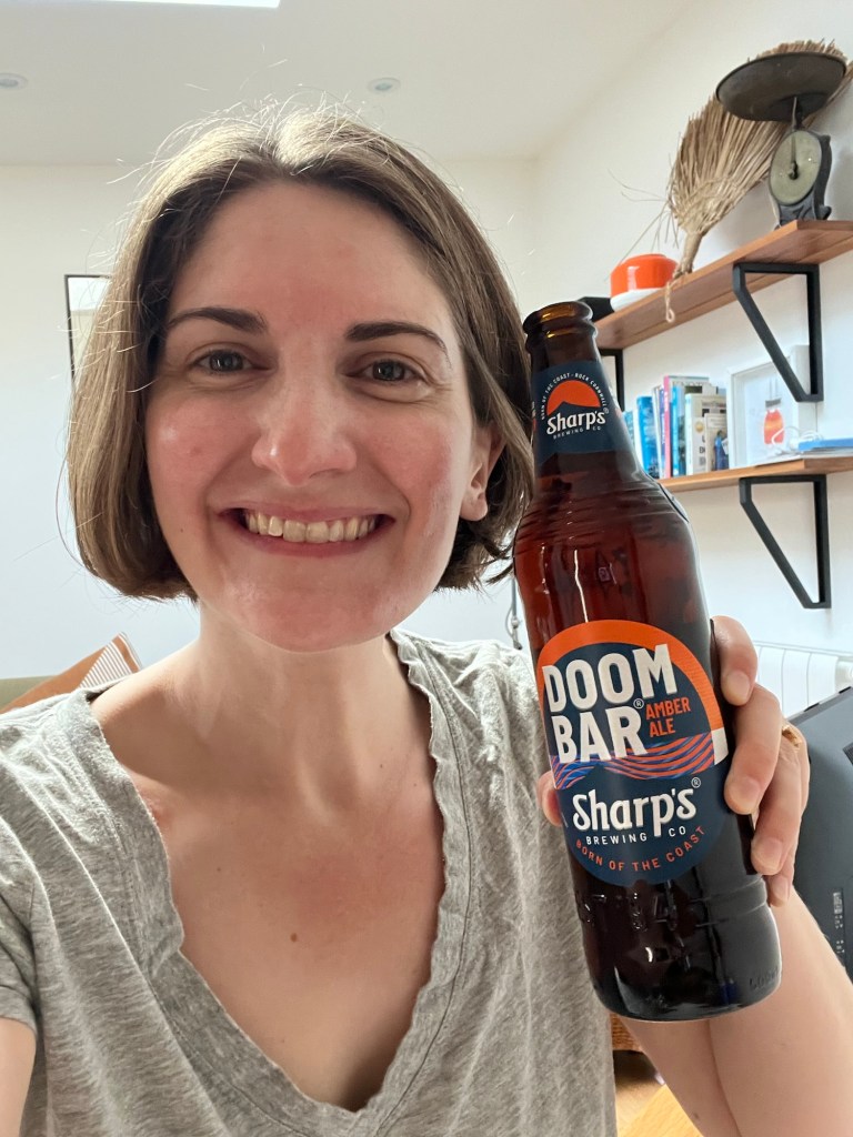
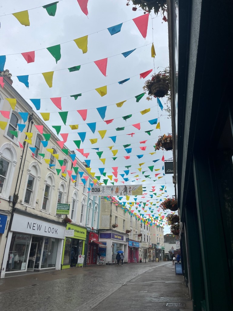
I arrive into Penzance to drizzle, but manage to get out for scampi on the harbour wall in the dry. The excitement always starts to build once I’ve actually arrived and can see the path ahead.


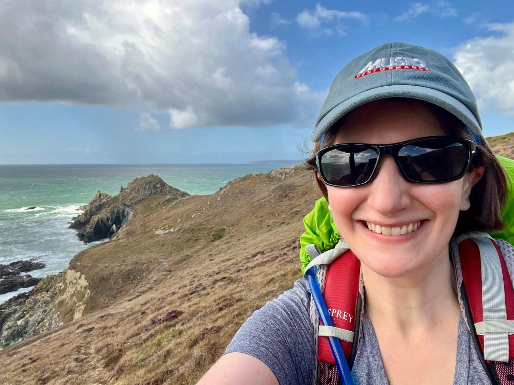
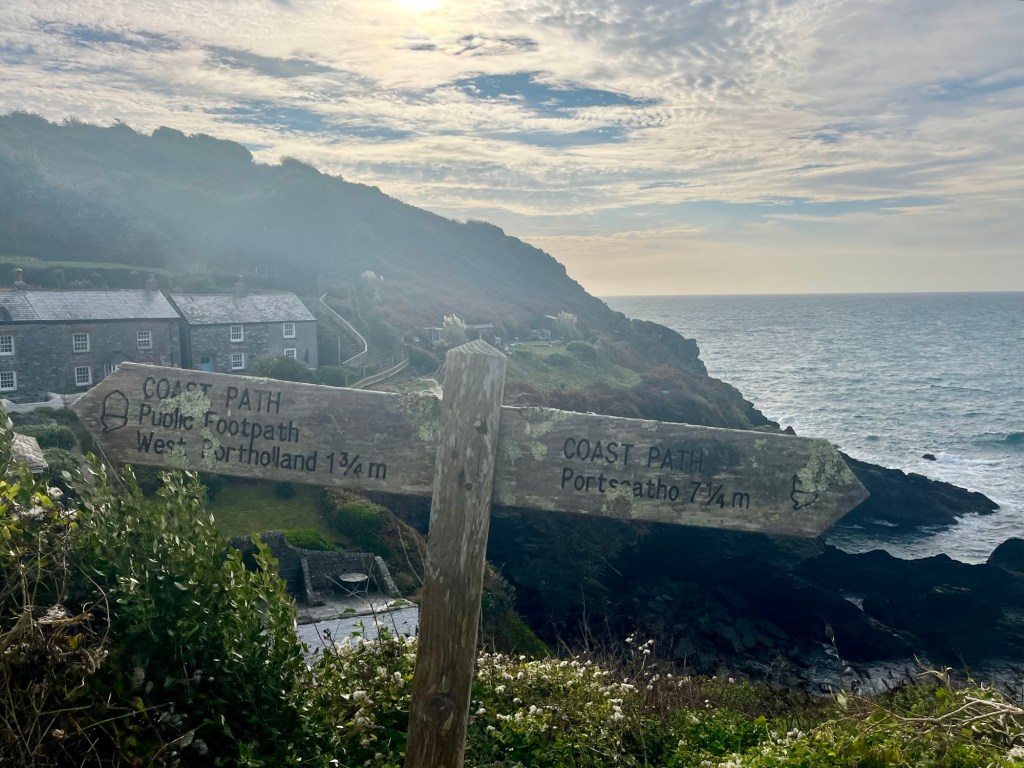
Day 2: Penzance to Porthleven
Ascent: 2081ft
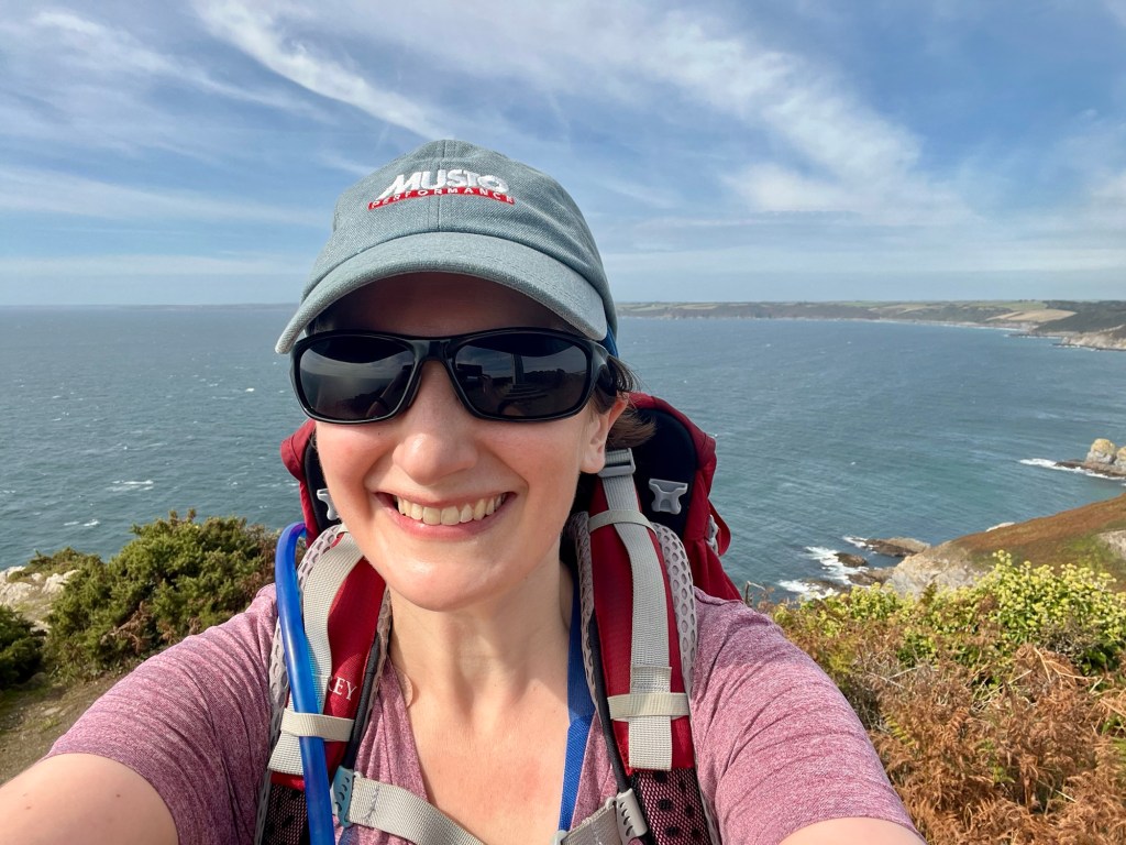
I’m coming into this week the least prepared of any since starting this project. A combination of factors (not least being fairly sedentary at work of late, and every spare minute of time being taken up by new house) means my overall fitness is definitely not where it once was. As a result, I’m quite apprehensive about the week ahead- will my body be physically able to do it?
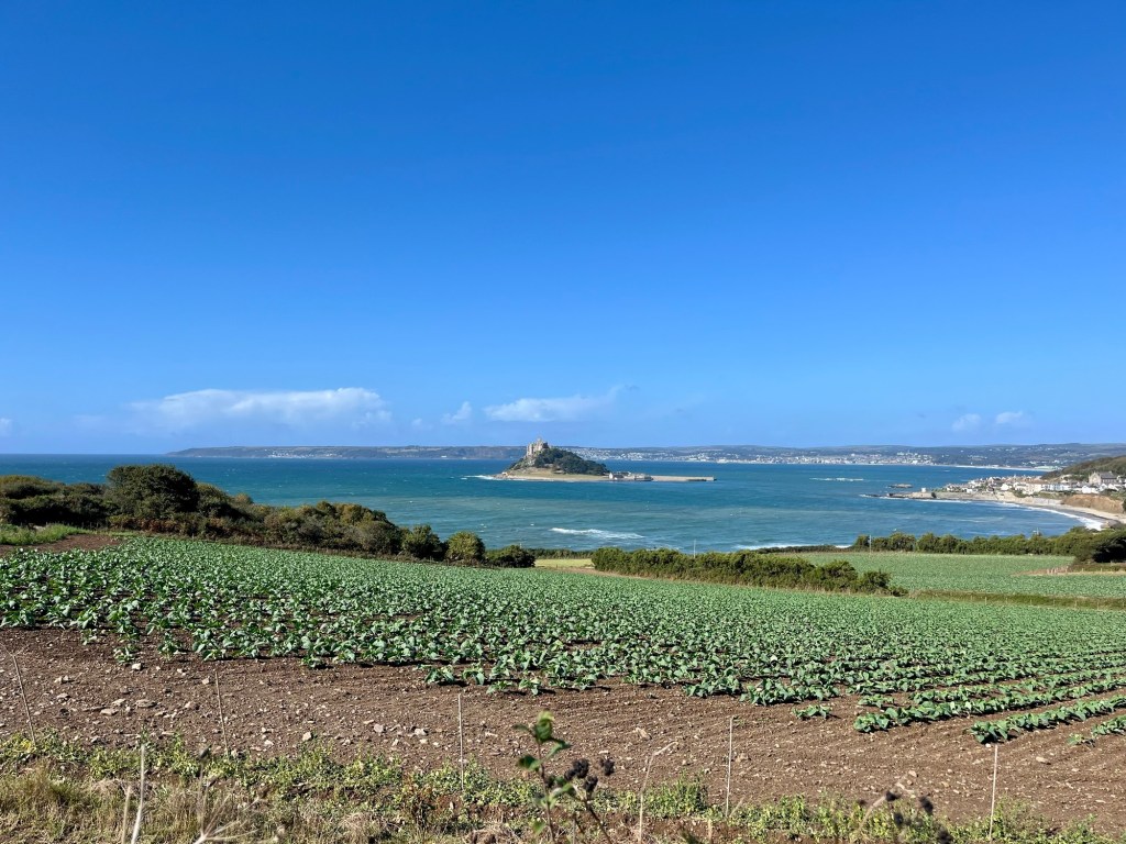
However, it feels surprisingly good to be back on the path. Admittedly, the first three miles are essentially completely flat, as it follows the railway line out of Penzance and round Mount’s Bay to Marazion. St Michael’s Mount dominates the view for much of the morning.


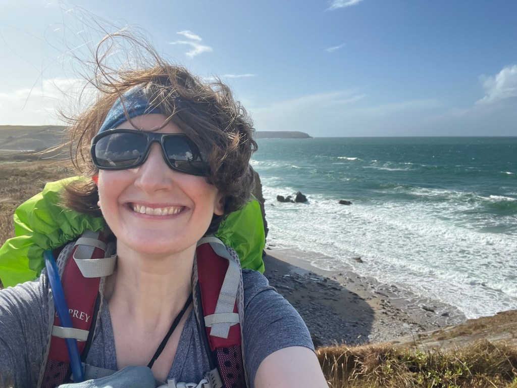
Having left Penzance in the rain, the skies soon clear and in a pattern that will be repeated multiple times this week, the afternoon is glorious.


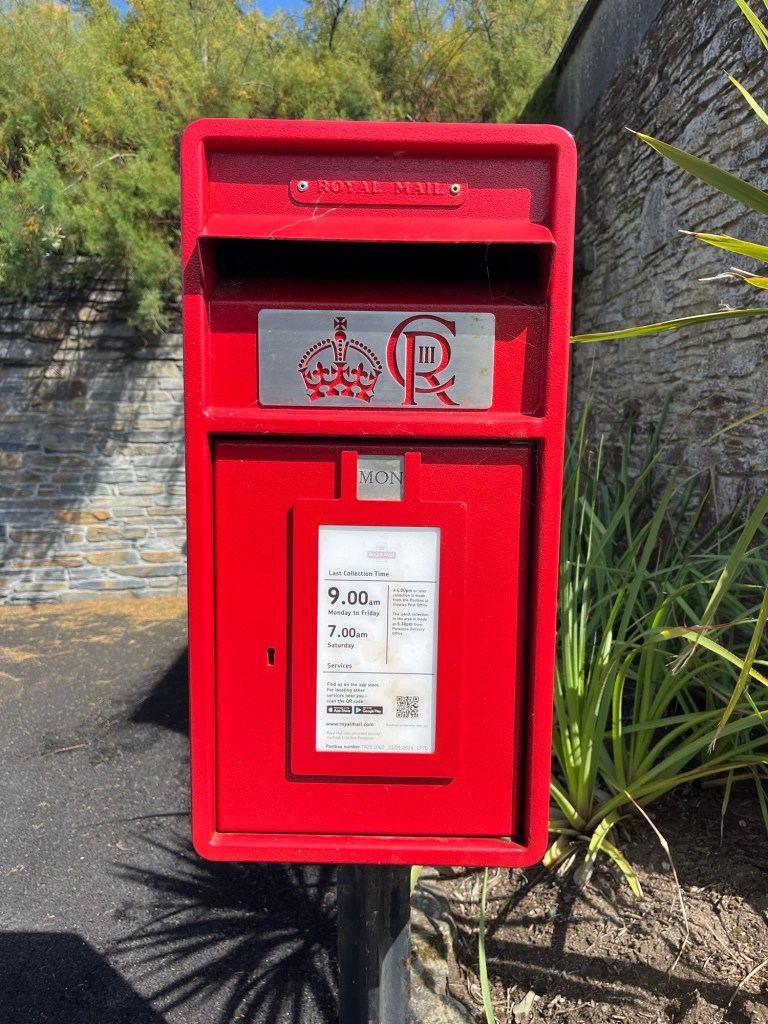
Postboxes are a thing today (I know- thrilling). I got all excited about the black one, but have since learned it just means it’s decommissioned, which is dull. The second is the first “CR” one I’ve seen.

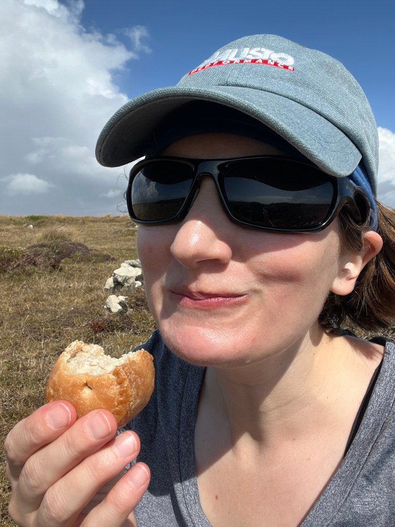
I make good progress, stopping for lunch in the dunes above Praa Sands (which I learn is pronounced “Prey” before making a faux pas and saying it out loud to any locals myself). Would it be a coast path week without the lunch of hiking champions?


The rest of the day passes uneventfully. I arrive into Porthleven mid afternoon. Somewhat frustratingly my Airbnb hosts are out til 5. However, I use the time to enjoy a drink down by the harbour, and get some food.
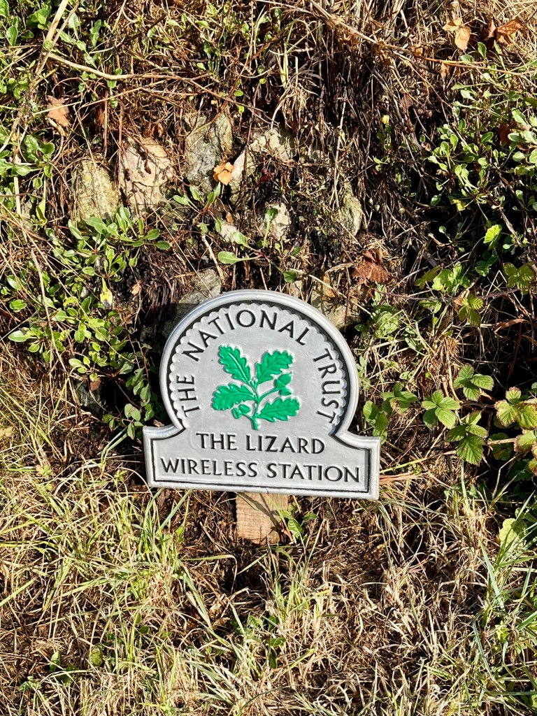
Day 3: Porthleven to Lizard Point
Ascent: 2412ft
Leaving Porthleven I think “ah, those are some dark clouds”. And sure enough, within five minutes the rain hits. And really hits. It’s like someone has turned a tap on. I hurriedly stop to pull my waterproofs on, and trudge on.


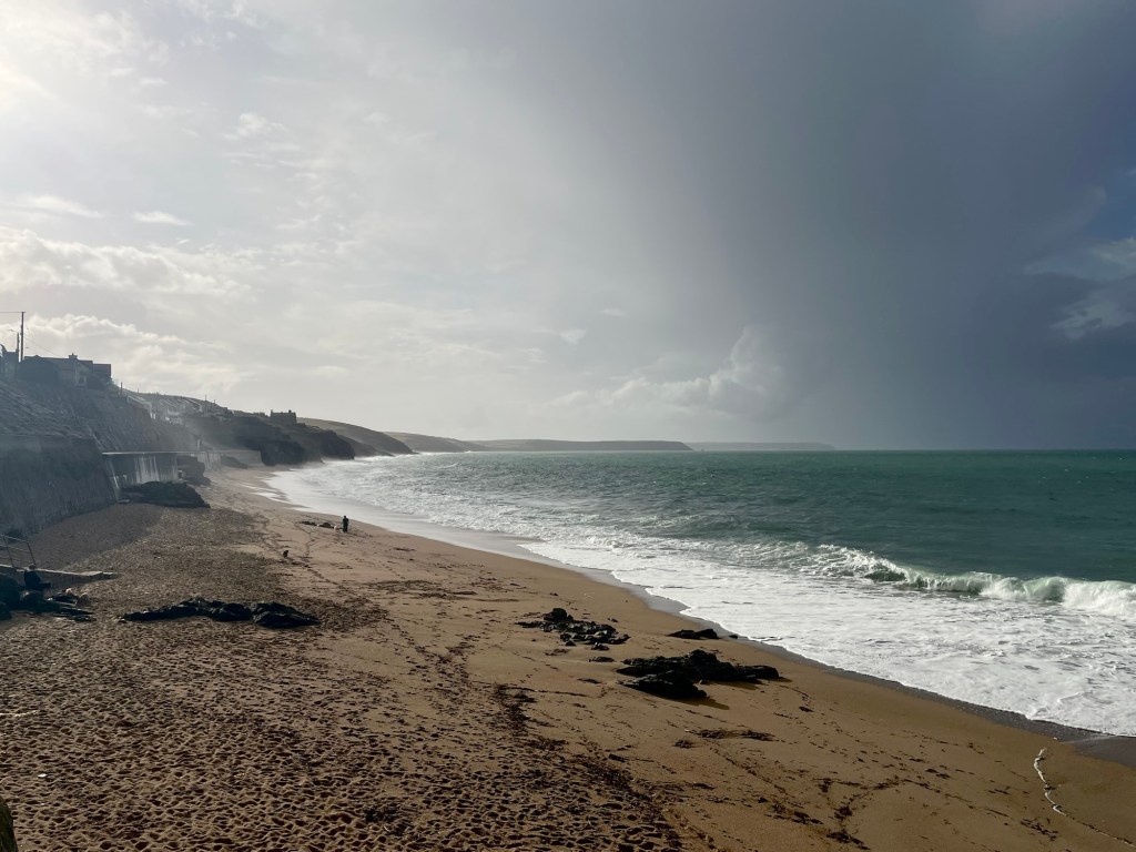


By the time I reach Loe Bar, it has cleared. For now. Loe Bar is fascinating- a half mile long sand and shingle bank, separating what is apparently the UK’s largest natural freshwater lake from the sea. My B&B host had given me a tip to stick to the grassy, as opposed to shingly, side which meant it wasn’t too heavy going underfoot.


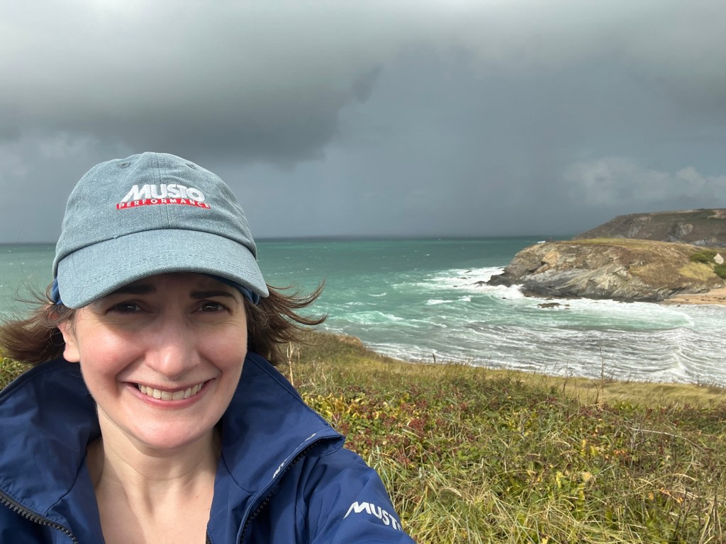
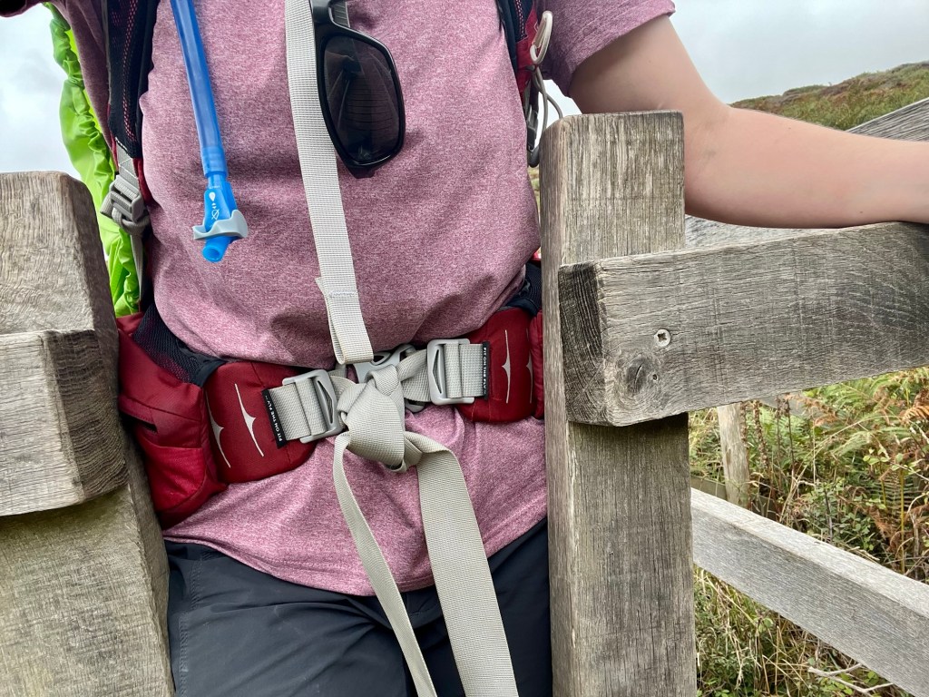
The majority of photos from this day make it look glorious. However, I would like it noted that I lost count of the number of times my cap blew off. Or that the tap suddenly got turned on from above. And when my rucksack waterproof cover threatened to fly away for the third time, I decided to stop and fashion a more secure attachment with some entry level knotting, and a couple of safety pins.
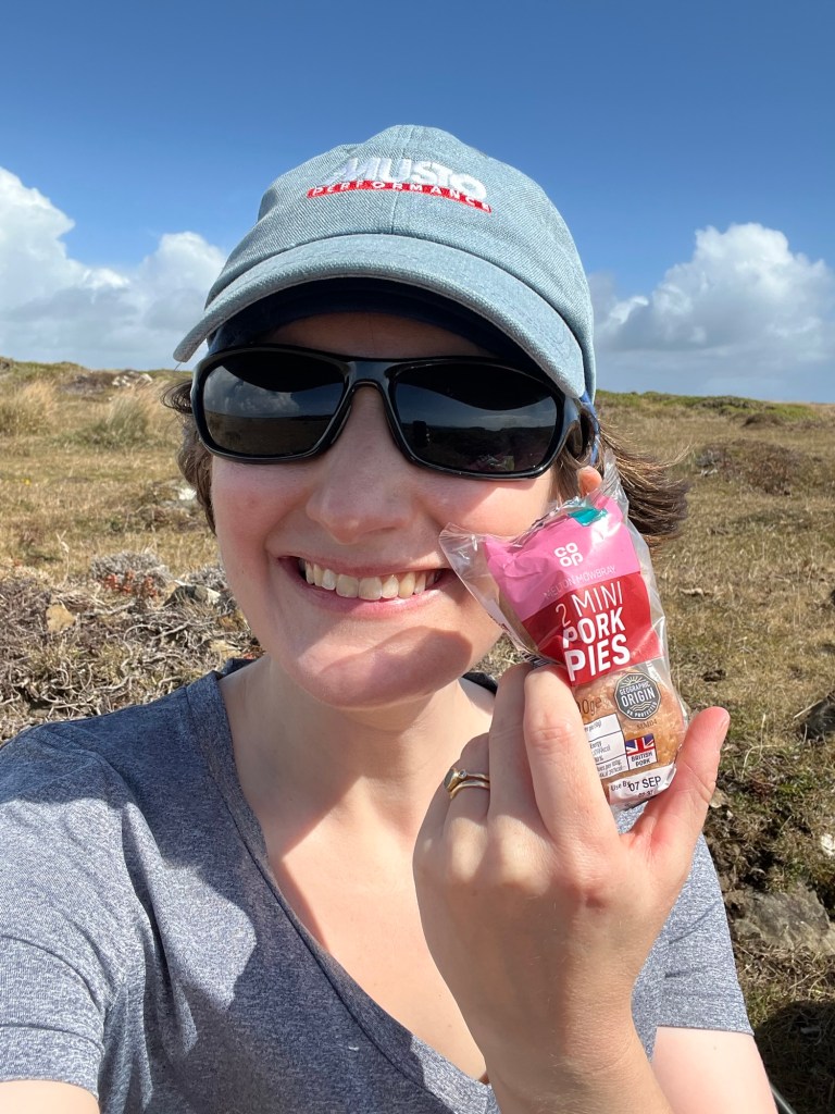
Today’s lunch really stepped things up a gear. Some may remember the legendary Pork Pie Tragedy of last leg (whereby pork pie was left in the Airbnb fridge). WELL, not so this time!
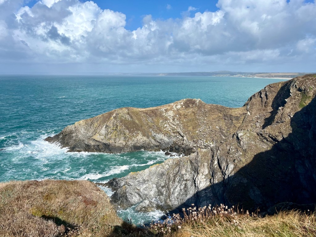
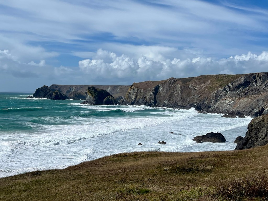
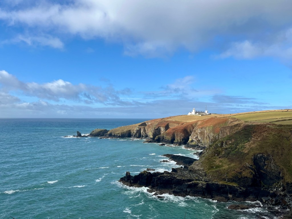
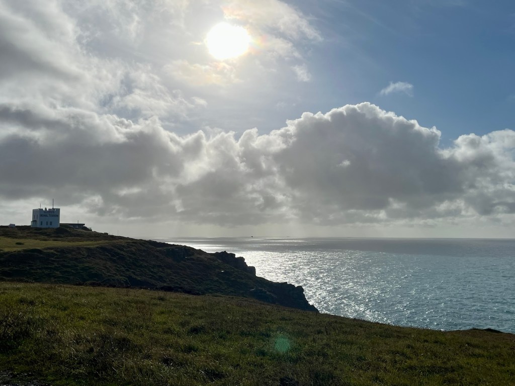
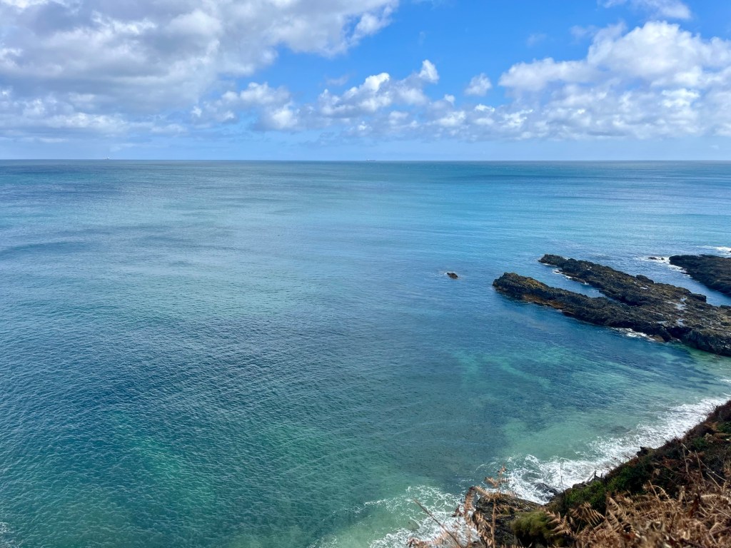
Showers and wind aside, arriving at Lizard Point, via Kynance Cove, was stunning. Albeit heaving with tourists. Most southerly point of mainland Britain? Tick ✅


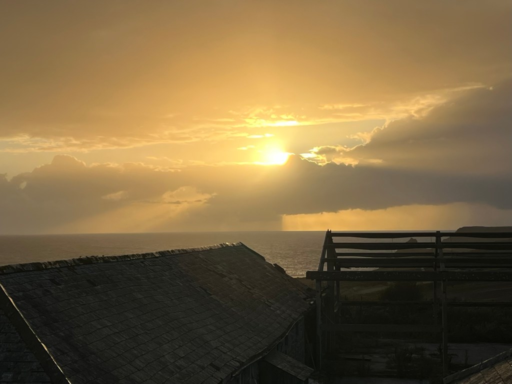
That evening I was treated to a stunning sunset, from my bed!

Day 4: Lizard Point to Porthallow
Ascent: 2952ft
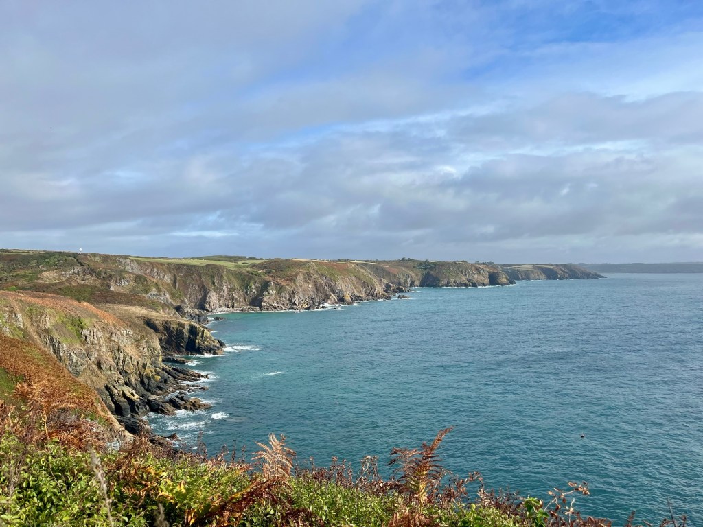
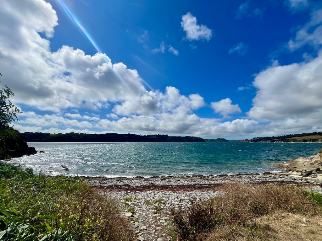
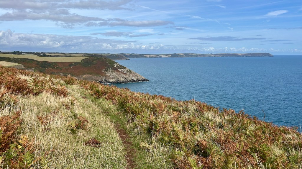
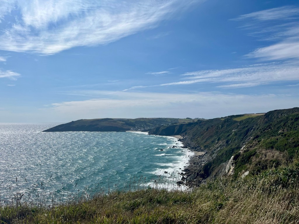
Much of today was more of the same- beautiful views, cliffs, beaches and the obligatory big old headland to climb round.
Things of note:
1. Not long after setting off from Lizard, I was passed by a young man who is walking the coast path BAREFOOT. If it had been later in the day I could have been convinced I was dehydrated and delirious. I took a photo of his footprint just to prove I wasn’t making it up!

2. This stretch seems to love these stiles/field separators. What’s the big deal, Helen? Well, turns out it’s basically impossible for me to fit through wearing my rucksack.


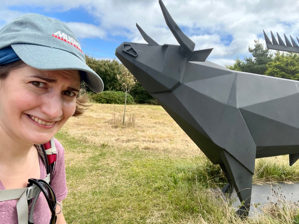
3. Just before entering Coverack, the coast path gets a bit confusing. It’s really poorly signed, and the guide book recommends missing out Chynhalls Cliff, instead taking a scenic route via the entrance to a sculpture park. Well, I managed to miss the turning and so arrived at the aforementioned cliff. Determined to avoid what a fellow blog describes as “a totally grim rocky scramble”, I cut off down a path that I’m still unsure was anything more than a track made by the cows. Anyway, before long I popped up IN THE SCULPTURE GARDEN. It was one of the more surreal moments of the week. If I hadn’t been in coast path mode, I’m sure it would have been lovely to wander round! As it was, I felt like I was in some sort of happening from Alice in Wonderland trying to escape.


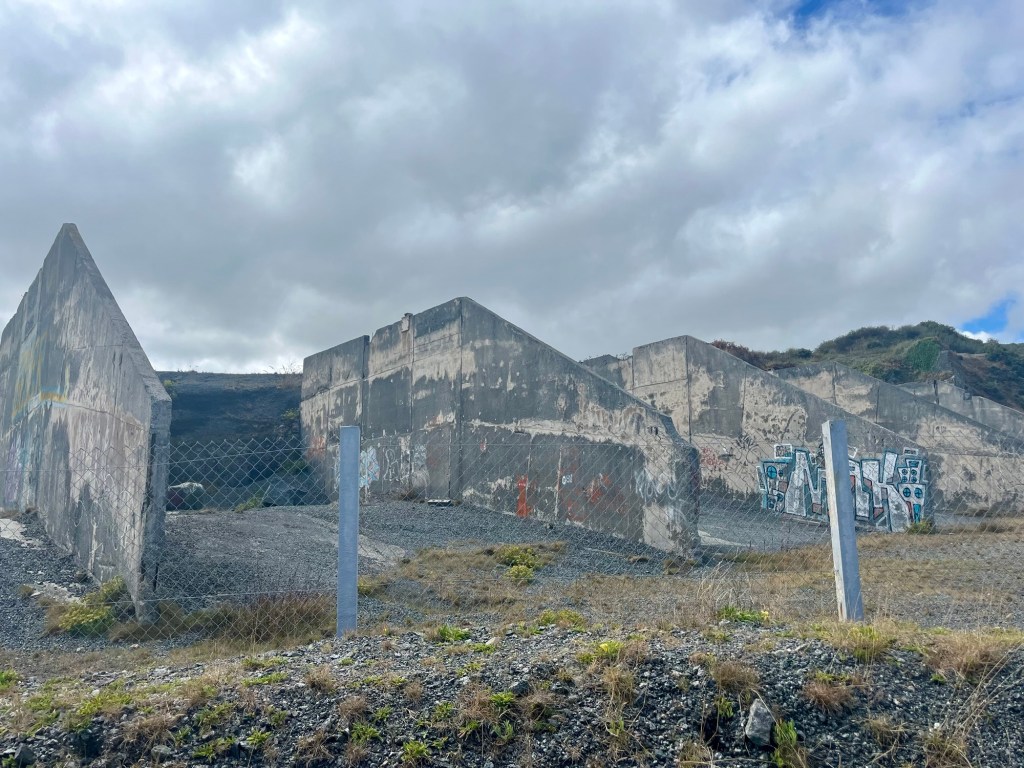
4. The latter part of the day, from Coverack to Porthallow passes a big disused quarry. I found this creepy and so channeled peak Kumbaya etc from previous stretches to pass the time.


5. Beyond the quarry, the route used to strike off cross country, leaving the coast behind. However, as part of King Charles III England Coast Path (something I hadn’t even realised was a thing) the stretch from Porthoustock to Porthallow has recently opened. Hurrah, I thought, how nice to stay by the coast. This section definitely doesn’t feature approx 200 steps straight up, only to immediately plunge back down to water level….
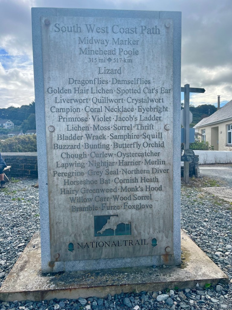
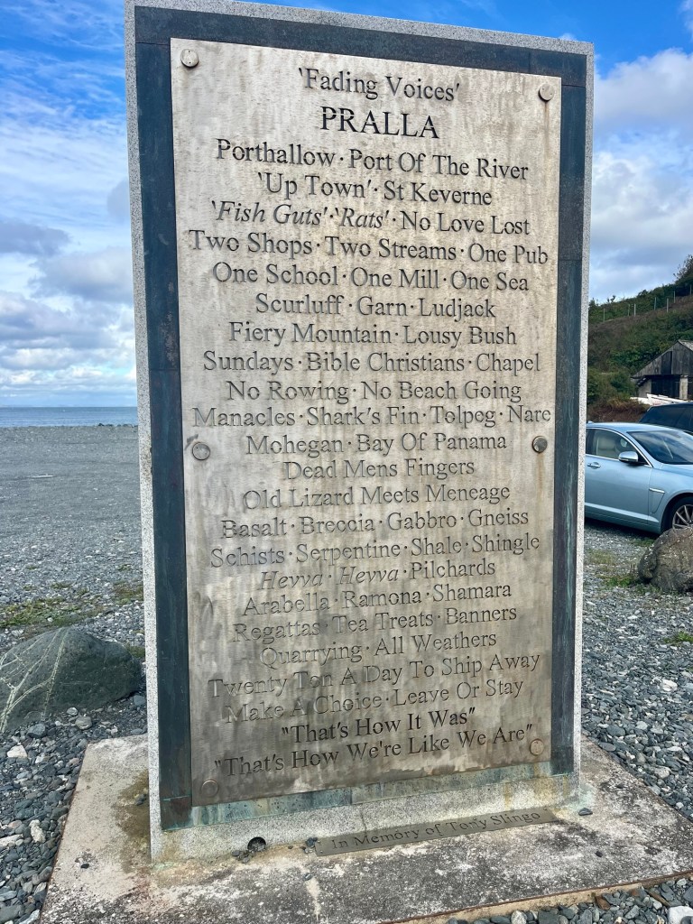
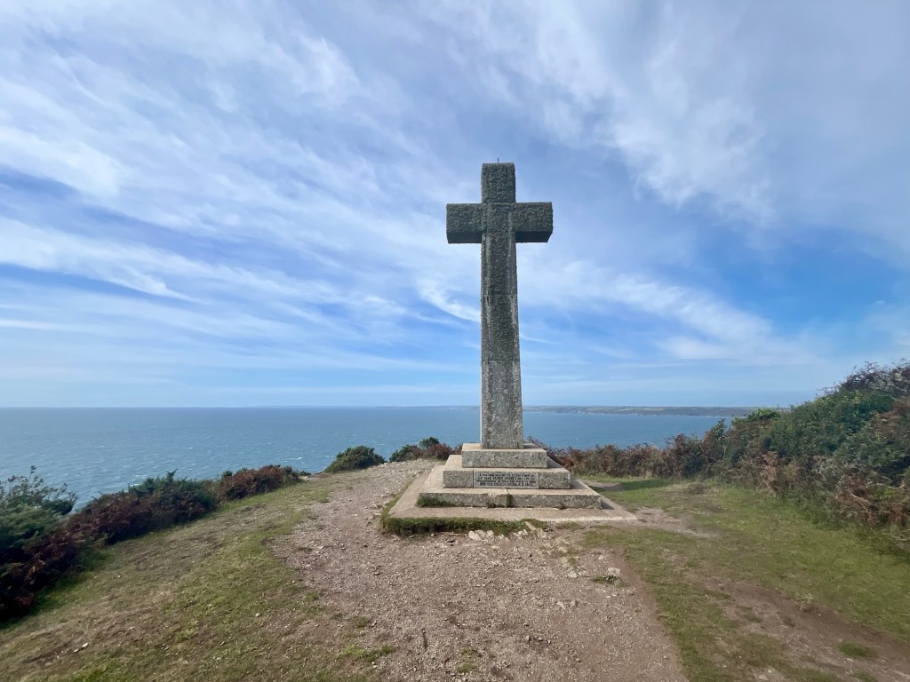
Porthallow marks the halfway point of the whole South West Coast Path. 315 miles done, 315 to go. It feels a bit odd, as it’s such a tiny sleepy village. I quickly snap a photo of the marker and head to my B&B for the night (there’s only one in the village!).
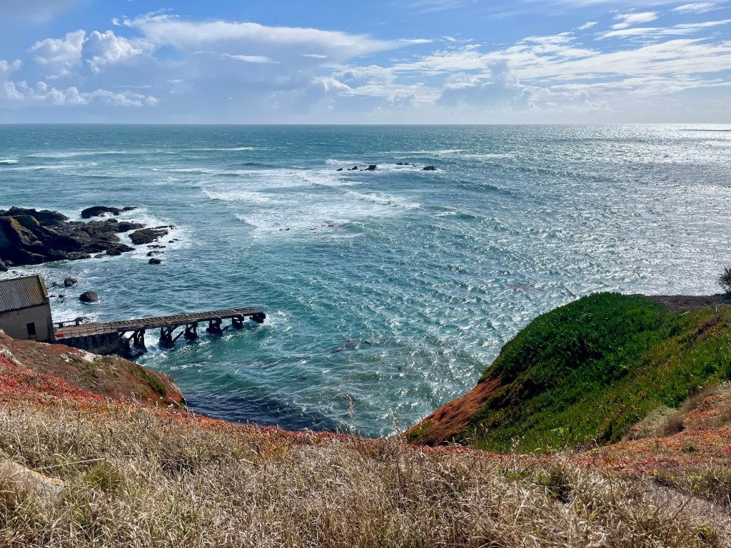
Day 5: Porthallow to Falmouth
Ascent: 2589ft
I start the day back down by the marker. A man spots me awkwardly trying to take a selfie and offers to take a photo. We get chatting and he’s also doing sections of the path. Today he’s tackling the stretch I did yesterday, so I let him know about the new coastal stretch at the end (although warn him of the steps!). We spend a good while chatting about our favourite stretches so far, until the drizzle starts….

The lack of photos I have from the first few hours of this day are a testament to just how wet it was. Phone stayed safely stowed away.


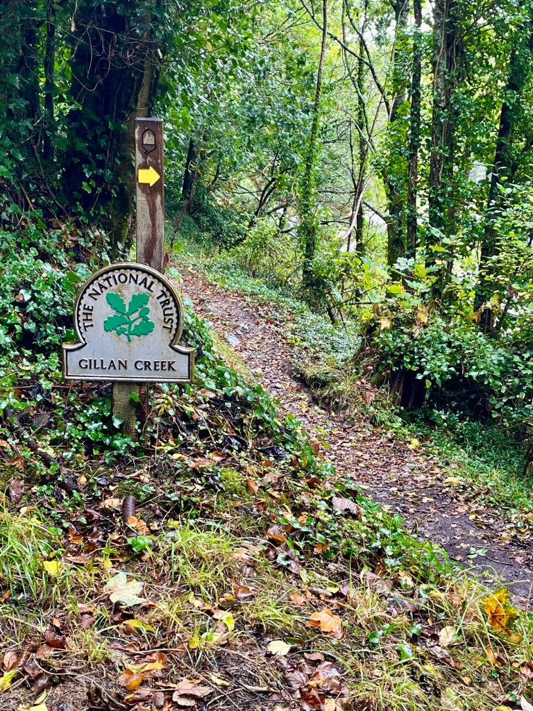
This section over to Falmouth involves crossing a couple of estuaries. The first is Gillan Creek. Supposedly there’s stepping stones somewhere that can be crossed at low tide. However, they’re notoriously slippy and I decided in wet weather probably an unwise move (I actually couldn’t find them, anyway!) and so trudged up to Carne.
I found this section a bit of a struggle. It was mostly walking through driving rain, and then through wooded riverbanks. You’d think the trees would provide shelter, but in fact it just meant that even when the rain actually stopped, I was still being rained on by the leaves!

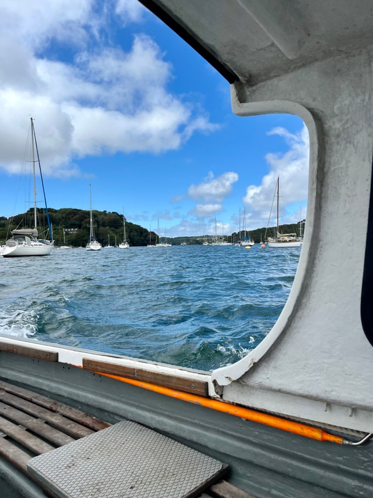
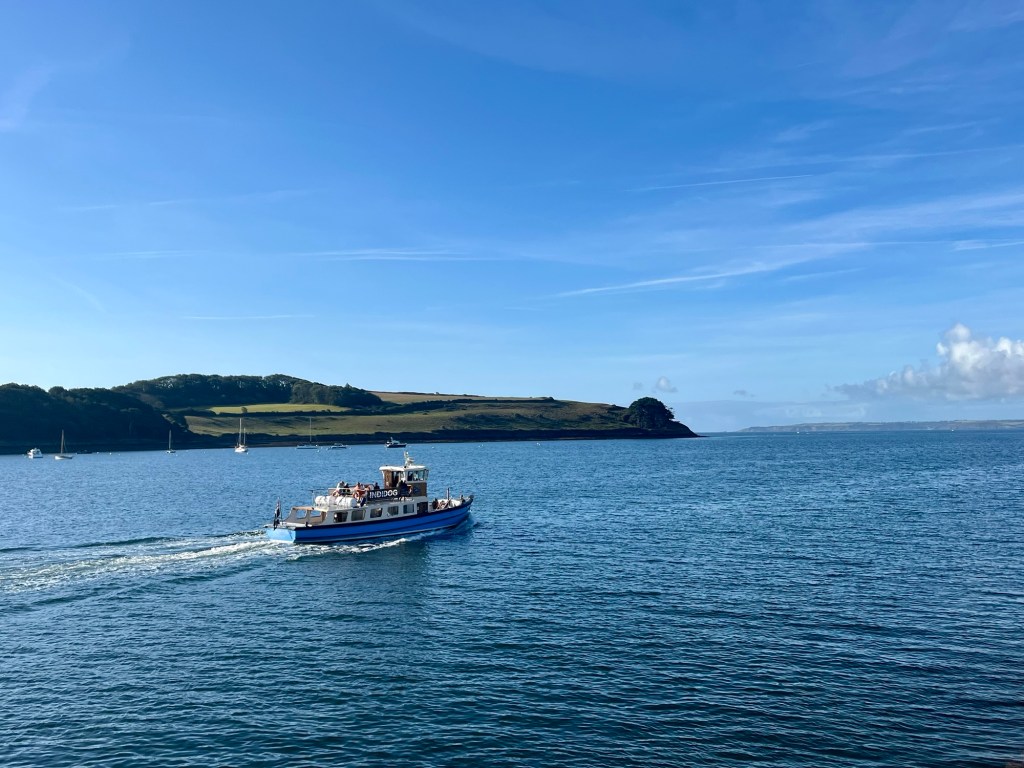
By lunchtime, the rain had cleared, I’d made it to Helford and crossed the river as the only passenger on the ferry.


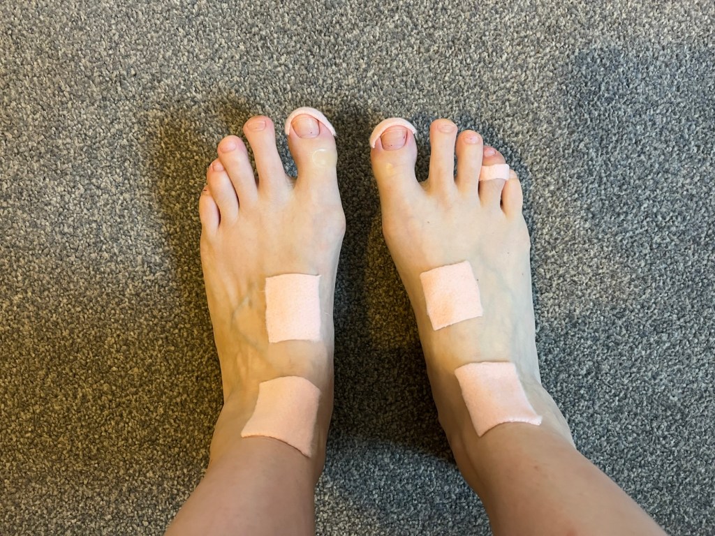
The stretch into Falmouth was beautiful. But in complete contrast to the morning, the sun came out in full force and it was HOT. The coastal breeze had disappeared, and it was a fairly sweltering trudge. It was also at this stage that my left foot started causing me bother.


The camber of the coast path understandably slopes down towards the sea in the main. This means for much of the week my left ankle felt like it was about to roll and has resulted in some impressive bruising over my foot. I even resorted to walking backwards for small stretches just to change the foot subjected to the camber. But this didn’t feel a sensible long term strategy!
Anyway. I made it to Falmouth and that means one thing- REST DAY!
Day 6: Rest Day in Falmouth
Ascent: probably about 2ft!
Today’s main themes:
- How many foot supplies are too many foot supplies? Hello Boots.
- How much coffee can/should one person drink?
- How much movement is needed to prevent a DVT?

Day 7: Falmouth to Portloe
Ascent: 2648ft
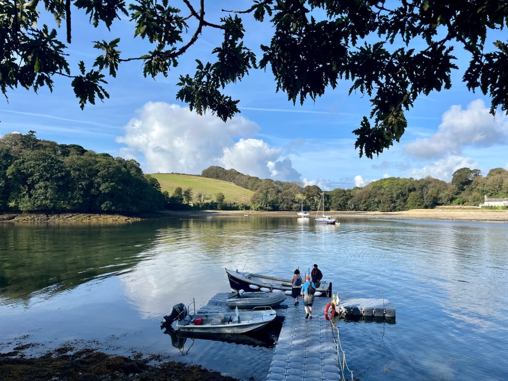
This day started with a couple of ferries- first from Falmouth to St Mawes, and then on to Place.


The walk initially is relatively flat, over undulating fields and low cliffs. It was hot and felt airless, and my foot was hurting. Not my favourite section.


No matter what I tried, I couldn’t shake the doubt that I was going to be able to finish this week and get to Mevagissey. Even a pork pie lunch didn’t shift it. My foot was really hurting. Just when I was feeling my most disheartened, the man I’d met by the marker in Porthallow appeared- he’d caught up with me as he hadn’t had a rest day. We chatted for long enough for me to feel encouraged before I let him march on ahead- he had only a day pack with him, and seemingly two fully functioning feet.


By the time I got to Portloe, my mind was made up- I was going to get the bus in the morning and head straight to St Austell. Or was I?! A couple of hours later, showered, fed and watered, I couldn’t help but think “Maybe I can do this. What’s the worst that could happen?”….
Feeling a bit sorry for myself, I forewent the camping noodles dinner tonight and headed down to the pub. Very wise choice.

Day 8: Portloe to Mevagissey
Ascent: 2841ft
I woke early. Time to prep foot. I’d decided I was going to do my best to get to Mevagissey. This basically involved sticking every plaster/bit of padding/bandaging I own onto my left foot and ankle!

Today was, incredibly, my favourite day. Totally unexpected, as I was anticipating foot was just going to make it miserable. And it was sore, undoubtedly, but I made up various ridiculous rhyming songs based around “ow” and other slightly less PG exclamations. Singing these loudly felt cathartic (it’s a mostly very remote stretch!).
But the conditions were also PERFECT- beautiful blue skies, with just the right level of breeze. I had also really psyched myself up for it, and powered through- getting to Mevagissey almost an hour earlier than I was anticipating.
On days like these, I don’t want the walking to end…although on this occasion I probably have to accept my body is telling me it’s had enough for now!


In a break from tradition, I headed straight home that afternoon. I had managed to keep one set of clean-ish clothes to change into for the journey so my fellow passengers hopefully weren’t subjected to too much of a stench.
The trains largely ran without issue, if we ignore the moment I had to RUN, (with still decidedly bruised foot whilst carrying my pack) through Bristol Parkway to make my connection! But made it like a pro.

This week has felt so restoring. I’m heading home feeling proud, realising that maybe I am stronger than I give myself credit for and can push through when things feel difficult. And as ever, immensely grateful for a (mostly) healthy body that allows me to do this. Now, how do I go about getting a new left foot?!

Leave a comment